Satellite Tracker APIs: Orbits, Predictions, and Passes
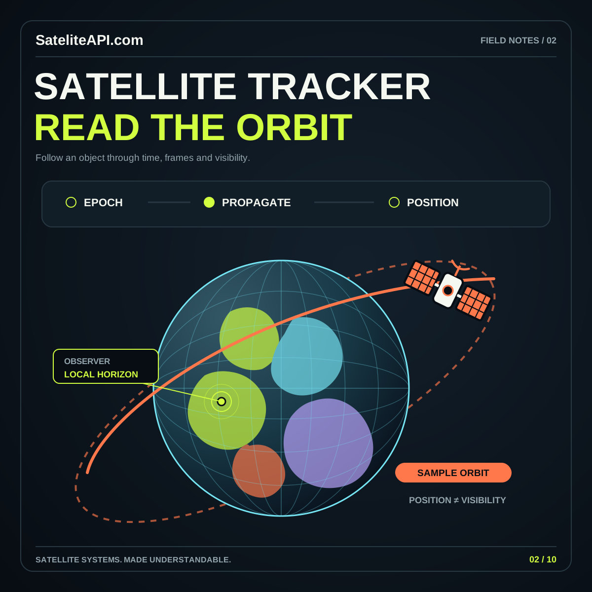
Learn how orbital records become position estimates and observer passes, why data age matters, and which details a trustworthy satellite tracking interface should display.
Read the guideExplore satellite APIs, understand orbital tracking, and turn geospatial data into something extraordinary. A universe of guides and browser tools, ready to explore.
OUR AMBITION: THE WORLD’S #1 SATELITE API & SATELITE TRACKING WEBSITE AND APP SUITE.
Move from the idea of an orbit to a model you can control. Change the altitude, tilt the plane, and see what changes.
A working circular-orbit simulator that puts time, inclination and altitude in your hands. Follow the satellite and compare its position with the numbers.
An educational model with clearly labeled assumptions.
APIs, data formats and useful workflows.
Understand orbits, positions and passes.
Turn Earth imagery into useful insight.
Connect satellite signals with location.
Bring imagery, layers and coordinates together.
Give orbital data a new dimension.
Build expressive globes with web motion.
Connect scenes, cameras and Earth.
Design thoughtful satellite experiences on iOS.
Build around permissions and lifecycle.
Soft atmospheric globes. Neon signal networks. Playful orbiting markers. Three expressive styles, with motion you can control and ideas you can make your own.
Explore readable JSON, coordinate conversions and practical implementation guides. Get familiar with the shape of satellite data before connecting a production provider.
// Explore the bundled sample data.
const response = await fetch(
  'satellite-demo-data.json'
);
const data = await response.json();

console.log(data.demonstrationOnly);
// true

// Start with the data contract.
// Keep time, units and source together.Satelite API Satelite Tracking News — the launch collection.
Learn how orbital records become position estimates and observer passes, why data age matters, and which details a trustworthy satellite tracking interface should display.
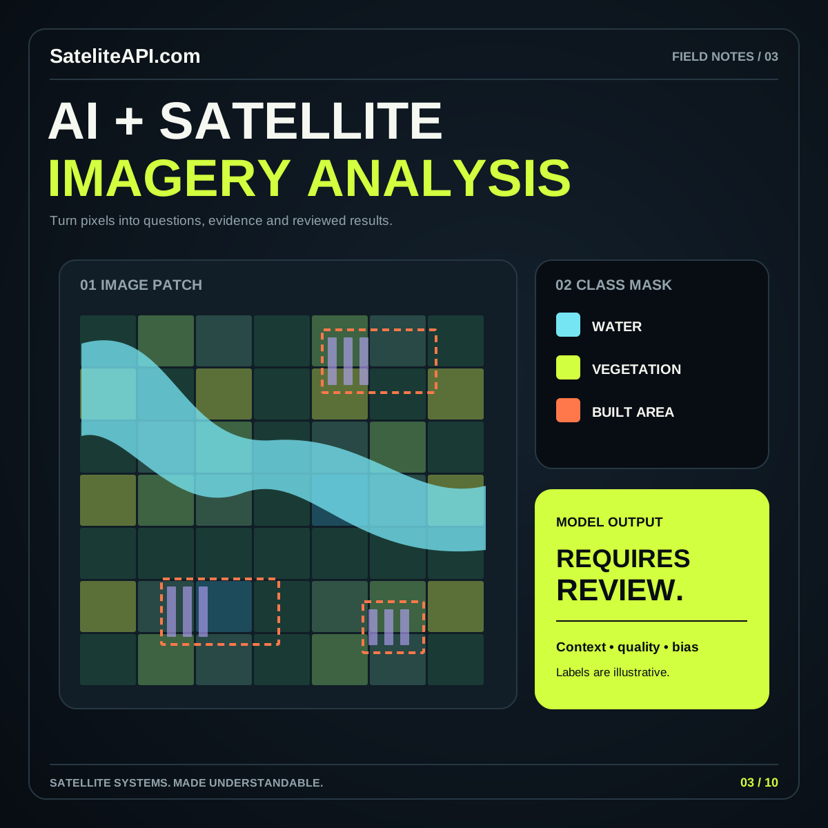
Read the guideBuild a grounded AI imagery workflow by choosing a precise task, preparing suitable observations, evaluating independent examples, and presenting predictions with evidence and context.
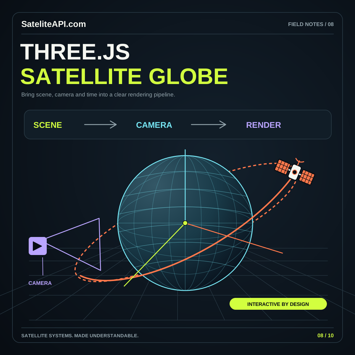
Read the guideA Three.js globe becomes useful when its data, scene and controls agree. Plan Earth geometry, coordinate mapping, rendering quality and cleanup before adding elaborate effects or large satellite collections.
Read the guideBuild a sound foundation before adding your first satellite to a screen.
A satellite technology knowledge hub and browser app suite. Explore APIs, orbital tracking, AI imagery, geospatial data, globe design and mobile development, then try the working educational tools.
It uses an idealized circular-orbit model with controls for altitude, inclination and time. It does not download live orbital elements or claim operational tracking accuracy. The tracker guide explains the additional data and models needed for real predictions.
No account is required for the guides and included browser tools. External data providers have their own access rules; read the source directory before integrating a provider.
The app suite works in a browser. The iOS and Android sections are development guides; native store downloads are not part of this release.
Add the complete site Atom feed or the news-only feed to your reader. Contact us at [email protected].