Satellite API Guide: Choose the Right Data for Your App
A practical starting point for satellite APIs: understand the data families, ask better provider questions, and turn a promising sample response into a useful application.
Read the guideFind the right starting point for a satellite-powered idea. Understand what an interface delivers, what its timestamps mean, and how to turn a source record into a result people can understand and use.
Start with the question your application must answer. A satellite API might help discover observations, retrieve orbital information, or support another specialized workflow. NASA’s CMR documentation, for example, describes searches for Earth-science collections and granules. Choose your data family first, then evaluate its records, access requirements, and limitations against one concrete use case.
Describe the required output before selecting a provider: an image asset, an orbital record, a calculated position, or a catalog result. Keep these categories visible in your notes so a familiar satellite graphic does not blur their different purposes.
Identify the observation time, reference epoch, or calculation time relevant to each value. Preserve retrieval time separately. This gives a reader enough context to judge whether the result addresses the moment or period they actually care about.
Review identifiers, units, quality fields, and asset descriptions alongside the main result. STAC’s item structure connects assets with spatial and temporal context, providing a useful reference for keeping information together through an application.
Write a single sentence describing the user, their input, and the expected result. Add one successful example and one empty-result example so the intended behavior is clear.
Trace a small response from its documentation to the screen. Explain unfamiliar fields before using them in a label, calculation, filter, or export that another person will rely on.
Use the browser API explorer to examine example structures, then read the full integration guide. Carry the same questions into any separate connection with a real data provider.
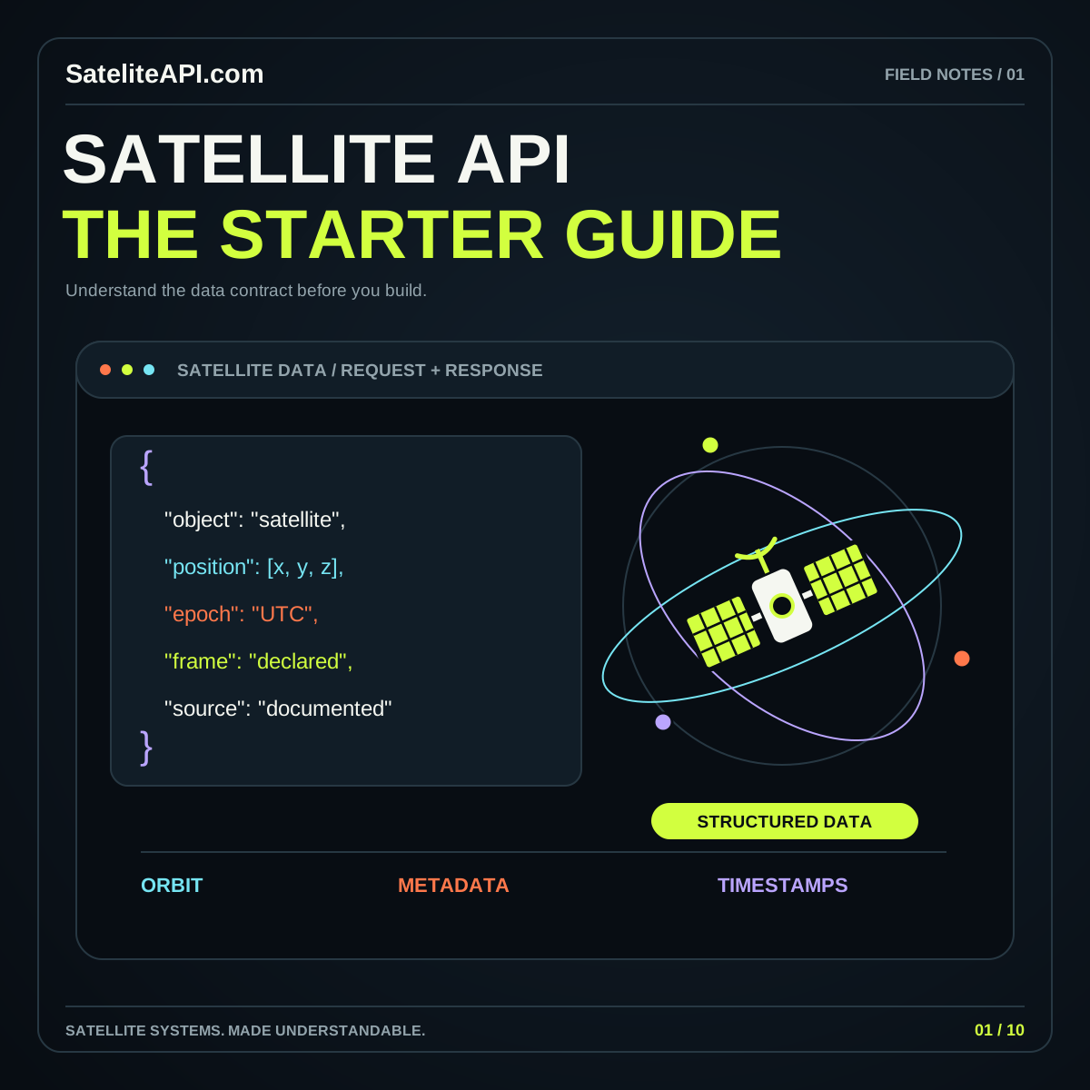
A successful sample request does not establish full coverage or suitability. Compare ordinary, missing, and incomplete results before expanding. Keep demonstrations labeled and make each production claim traceable to the actual source and implemented behavior.
Choose the category that answers your first practical question. An image search and an orbit viewer need different records. One complete, understandable workflow gives you a stronger foundation than several disconnected integrations.
This is a guide and learning path for satellite interfaces. Use the browser examples to understand the concepts, then consult the linked provider documentation for actual data access and service requirements.
A practical starting point for satellite APIs: understand the data families, ask better provider questions, and turn a promising sample response into a useful application.
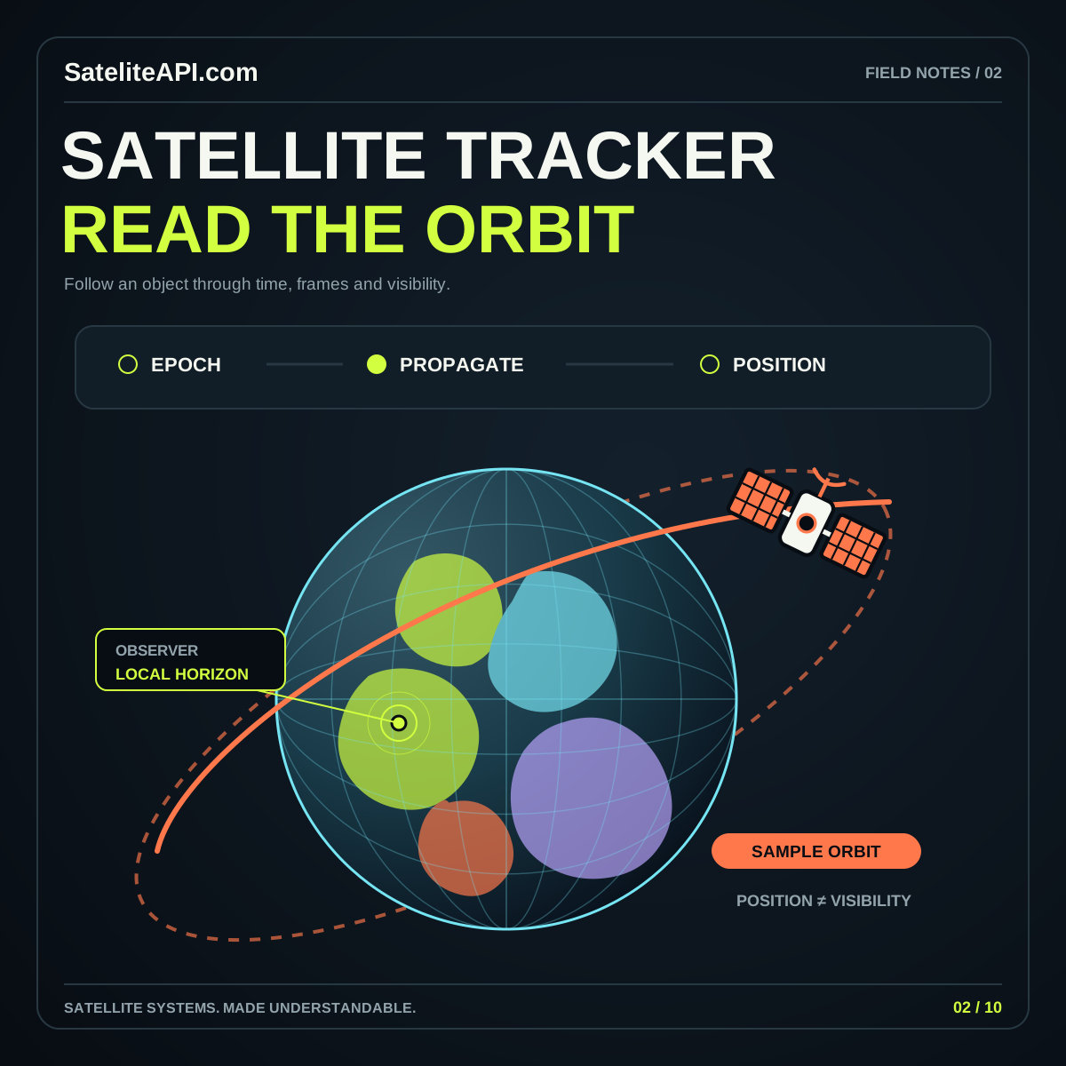
Read the guideLearn how orbital records become position estimates and observer passes, why data age matters, and which details a trustworthy satellite tracking interface should display.
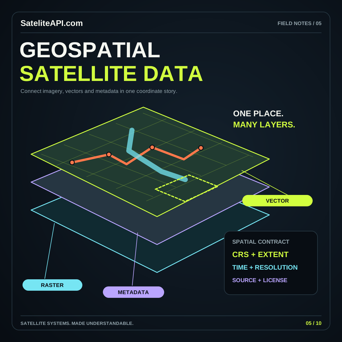
Read the guideA practical guide to discovering satellite imagery, reading STAC records, checking coordinate systems, and carrying source context through analysis, visualization, and export.
Read the guide