AI FOR EARTH OBSERVATION

Turn imagery into evidence.

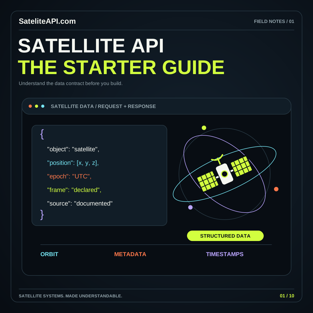
Connect AI ideas with a clear Earth-observation question. Explore how to prepare inputs, define useful outputs, compare approaches, and build a review process that keeps predictions connected to the observations supporting them.

THE SHORT VERSION

AI Satelite API

Begin with a specific task, such as a defined land-cover classification or a candidate change for human review. NASA’s Prithvi overview describes a geospatial foundation model prepared for downstream Earth-science applications. Use such examples to understand the possibilities, then decide what evidence your own task needs before choosing its model or interface.

UNDERSTAND THE BUILDING BLOCKS

Start with what matters.

01 / AI SATELITE API

An explicit output

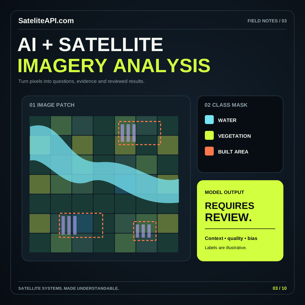
Specify what a result represents and who will use it. A class label, candidate region, and reconstructed image deserve different explanations. Write a short definition that a reviewer can apply consistently to a new example.

02 / AI SATELITE API

Prepared observations

Preserve source identifiers, observation dates, band meanings, and preparation choices. Inspect the input presented to the model. Keep uncertain or missing areas visible in the workflow so a prediction does not quietly inherit unexplained assumptions.

03 / AI SATELITE API

Independent evaluation

Google Earth Engine’s classification guide includes independent validation. Reserve examples that test the intended use, inspect mistakes individually, and define what counts as useful before comparing model options or choosing a display threshold.
A PRACTICAL PATH

From idea
to useful experience.

  1. Define the task

    Choose one study area and one result type. Create several examples of a useful answer and record how a reviewer would distinguish an incorrect or ambiguous result.

  2. Compare a baseline

    Evaluate a simple approach alongside any more complex candidate. Use the same examples and explain the tradeoffs in review effort, maintenance, and the kinds of mistakes each makes.

  3. Design the evidence view

    Place source observations, predictions, and a concise method explanation together. Use the API explorer for interface concepts and the full article to plan the separate analytical workflow.

AI Satelite API visual overview
THE CONNECTED VIEWAI Satelite API
↗
A model score needs a definition

Avoid displaying an arbitrary score as a guaranteed probability. Read the model’s output documentation and explain the value in that context. Keep observed inputs, generated estimates, and reviewer conclusions visually distinguishable so the evidence remains inspectable.

A PLACE IS MORE THAN A PIN

Put the layers
in context.

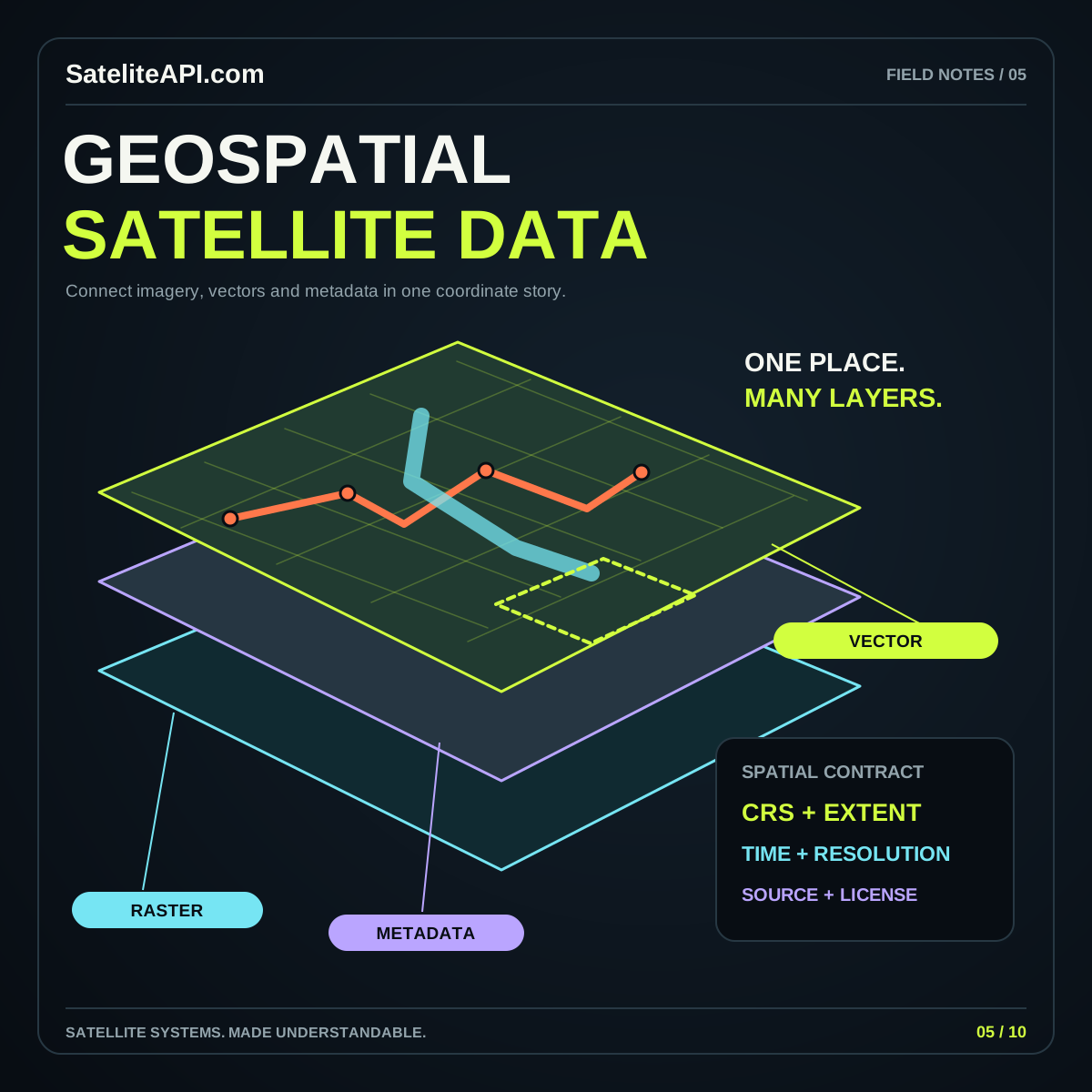
Maps become useful when their source, scale and meaning travel with the image.

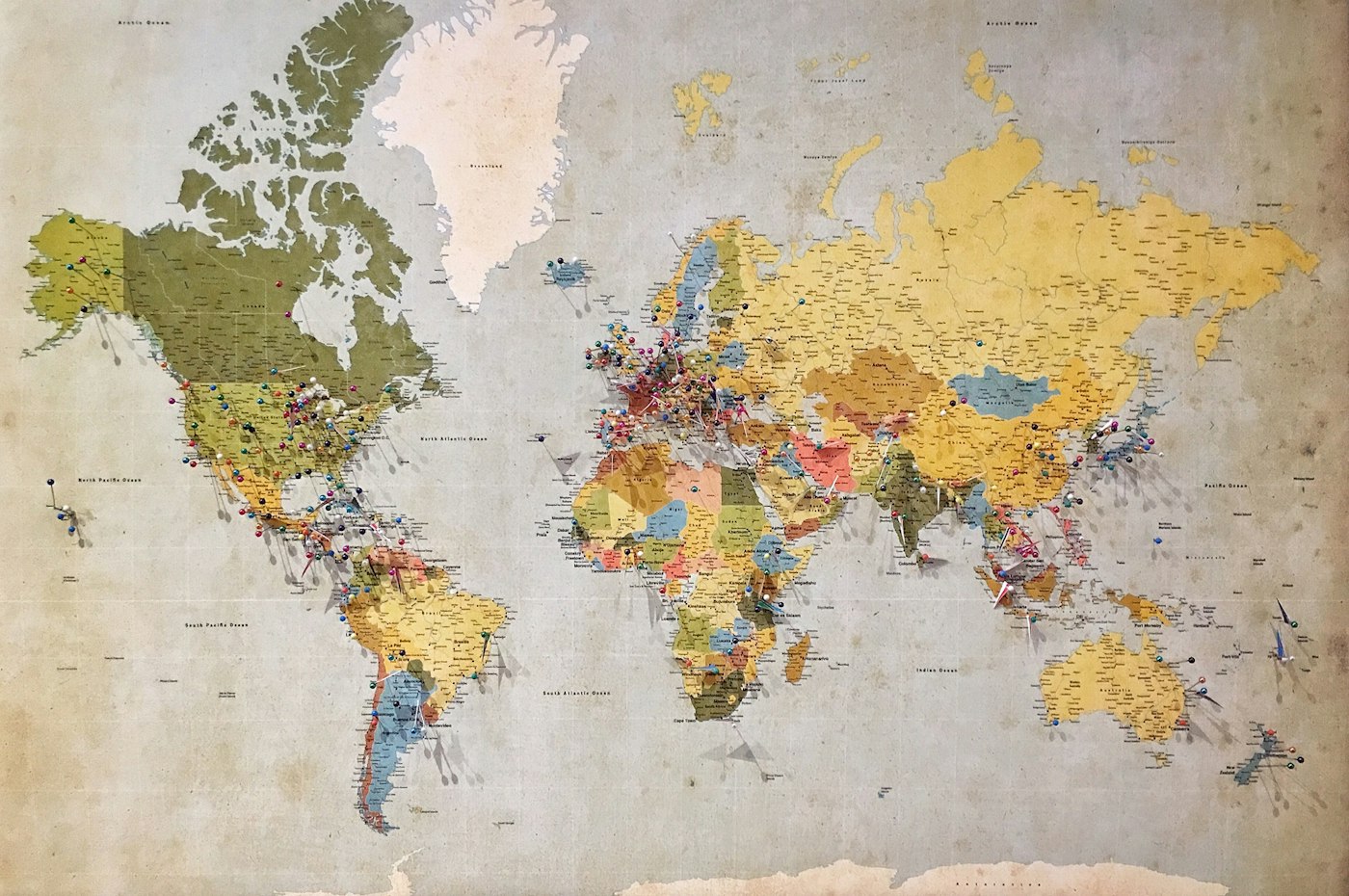
Photograph of a paper world map from the supplied theme
GEOSPATIAL PERSPECTIVEOne world. Many layers.
MAP PHOTOGRAPH

Know what you are seeing.

A basemap, a satellite image and a model output can share a screen while answering very different questions.

Keep the evidence attached.

Carry the observation time, coordinate reference and source through every layer of your project.

Map photography from the supplied theme, via Unsplash.

COMMON QUESTIONS

A little more clarity.

Should every project use a foundation model?

Compare available approaches on the task you actually want to support. Choose using evaluated results, preparation effort, and operating requirements. Model size alone does not answer whether an output is useful.

Can I run image analysis from this topic page?

This page provides a learning path and related browser examples. A working analysis deployment needs its own selected data, model, evaluation, and computation. The full guide explains how to plan those components.

YOUR NEXT READ

Go deeper.

Browse every subject