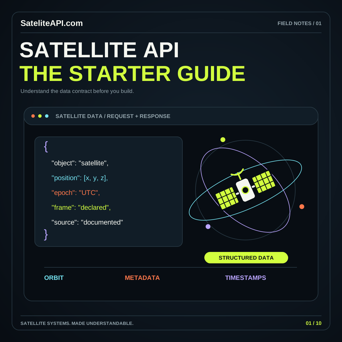
Geospatial Satellite APIs: Imagery, STAC, and Coordinates
A practical guide to discovering satellite imagery, reading STAC records, checking coordinate systems, and carrying source context through analysis, visualization, and export.
Read the guideFollow satellite imagery from a catalog record to a useful map. Understand study boundaries, asset descriptions, coordinate reference systems, and the context that should remain attached when an observation is processed or shared.
A geospatial workflow begins with a place, a time interval, and a question. The STAC specification offers a common structure for describing spatiotemporal assets. Use that structure to inspect candidate data, then check the underlying asset before drawing conclusions. A clear discovery process helps keep an attractive map connected to its actual source.
Define the boundary you want to examine and how partial coverage should be handled. Keep the chosen area visible beside search results. A broad map view should not hide whether the requested observation actually covers the important location.
Read the purpose of each linked file. Keep browsing images, analytical layers, and quality information distinguishable in your workflow. Record the selected asset’s identifier, date, units, and available processing context before using it in a derived result.
The STAC projection extension describes projection information for assets. Inspect that metadata rather than assuming every layer shares the catalog footprint’s coordinate representation. Preserve source and output reference systems when planning transformations or exports.
Choose a manageable area and a clear observation period. Decide whether the first output is a preview, catalog list, analytical layer, or downloadable result that someone else will inspect.
Open a representative asset and compare it with its metadata. Check recognizable features and missing areas. Resolve unclear units or reference systems before repeating the process over a larger collection.
Practice coordinate conventions in the browser converter, then follow the full geospatial guide. Save source identifiers and processing choices with each derived file so its meaning survives beyond the map.
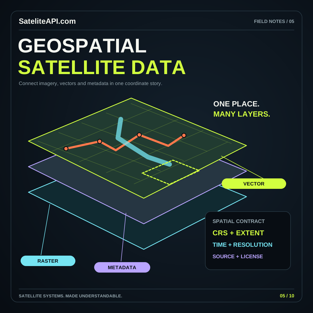
Two results can follow the same metadata structure while serving different purposes. Review their contents and preparation requirements individually. Establish compatibility with your question before merging layers, comparing dates, or passing observations into another analytical step.
Maps become useful when their source, scale and meaning travel with the image.
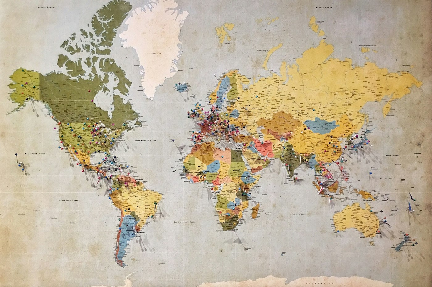
A basemap, a satellite image and a model output can share a screen while answering very different questions.
Carry the observation time, coordinate reference and source through every layer of your project.
Map photography from the supplied theme, via Unsplash.
Show the observation date or interval, the layer meaning, units, and a readable legend. Provide a route to source information. Readers should be able to distinguish missing data from a valid low value.
Choose one bounded area and inspect one complete source record with its asset. Build a small, repeatable workflow before adding regions or products. Understanding one result makes later comparisons easier to evaluate.
A practical guide to discovering satellite imagery, reading STAC records, checking coordinate systems, and carrying source context through analysis, visualization, and export.
Read the guideA practical starting point for satellite APIs: understand the data families, ask better provider questions, and turn a promising sample response into a useful application.
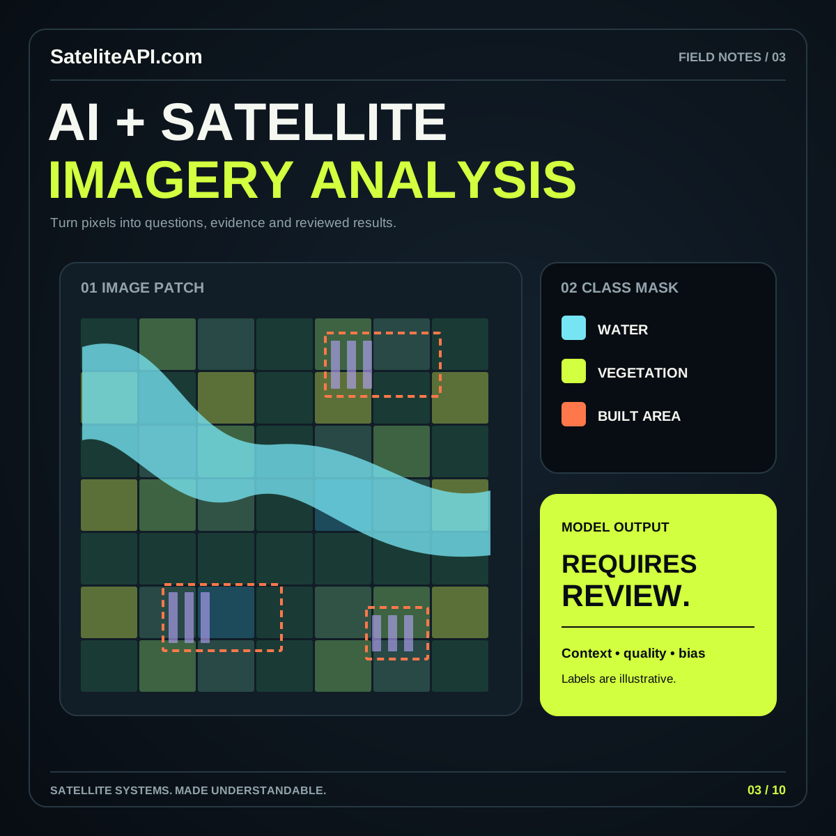
Read the guideBuild a grounded AI imagery workflow by choosing a precise task, preparing suitable observations, evaluating independent examples, and presenting predictions with evidence and context.
Read the guide