GPS Satellite APIs: Location, Signals, and App Design
Separate satellite navigation from orbital tracking, learn what location interfaces return, and design a mobile or browser experience that explains position, accuracy, and time.
Read the guideExplore the relationship between satellite navigation, device location, and the observer in a satellite app. Learn which position a feature describes, what context belongs beside it, and how to make location controls understandable.
Start by naming the subject of the location: the device, the observer, or the spacecraft. GPS.gov describes GPS as a positioning, navigation, and timing system. A web location interface is a separate software layer. Understanding that distinction helps you choose suitable language, relevant coordinates, and a clear next step for the person using the screen.
The W3C Geolocation specification leaves the underlying location source to the implementation. Label a browser result as a device location estimate unless you have evidence supporting a more specific description of how it was obtained.
Keep latitude and longitude labels explicit and show the chosen convention. Include units wherever a value could be misunderstood. A coordinate becomes more useful when the reader can connect it to a named place and a documented reference system.
Offer location controls where their benefit is visible. Explain why the feature needs a place and provide a manual alternative when appropriate. Let a person reset or change the observer location without losing their place in the learning flow.
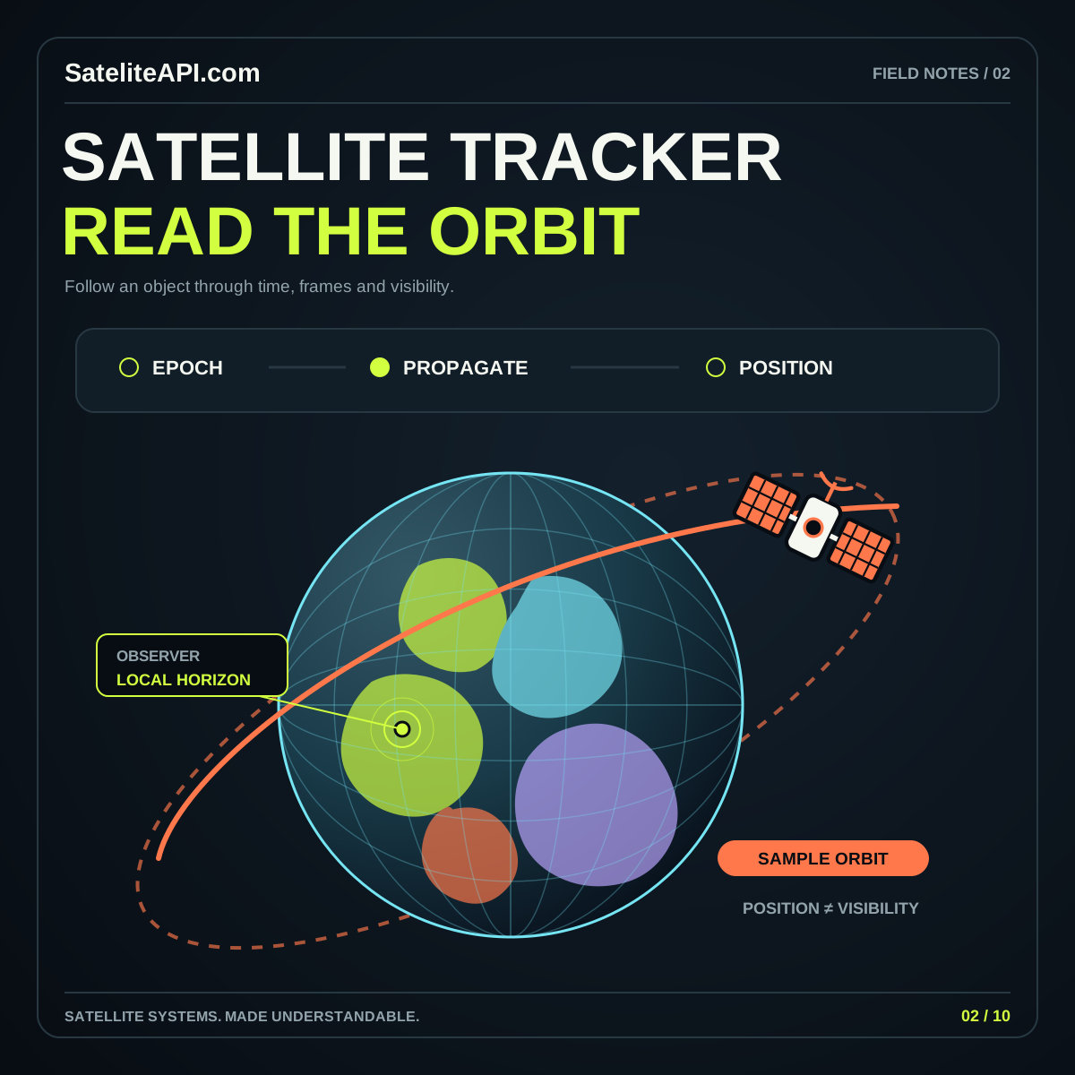
Decide whether the user needs to identify a place, prepare an observer view, or understand coordinates. Keep that task separate from any calculation describing a spacecraft’s orbit.
Check the selected location, relevant timestamp, and available accuracy context. Make an uncertain or old result recognizable before using it to populate another view or saved preference.
Use the coordinate converter to practice reading location values. Continue to the GPS guide for permissions, update behavior, and the distinction between observer positioning and satellite tracking.
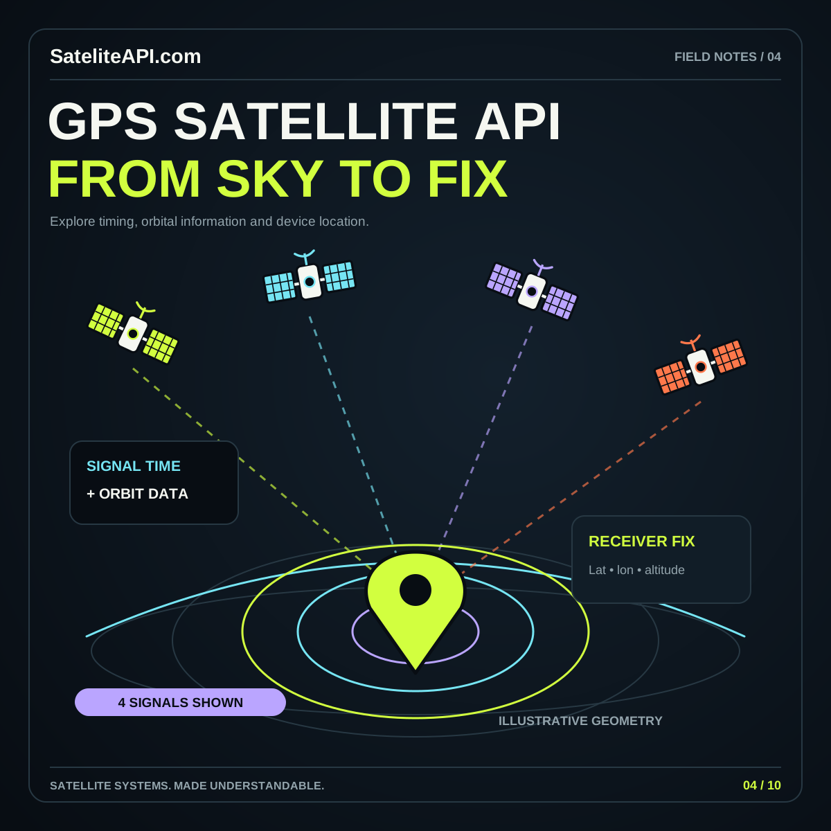
A detailed-looking coordinate can still be an estimate. Display meaningful accuracy and time information when supplied, and explain the source. Avoid making a map pin appear more authoritative than the underlying position information supports.
Define device positioning and spacecraft tracking as separate workflows. A catalog describing satellites is not a device-location response. Connect them only when the application explicitly uses a chosen ground position as its observer.
Build learning features around a manually selected place whenever possible. That lets a person understand coordinates or plan an observer view before deciding whether a device-location action would improve their experience.
Separate satellite navigation from orbital tracking, learn what location interfaces return, and design a mobile or browser experience that explains position, accuracy, and time.
Read the guideLearn how orbital records become position estimates and observer passes, why data age matters, and which details a trustworthy satellite tracking interface should display.
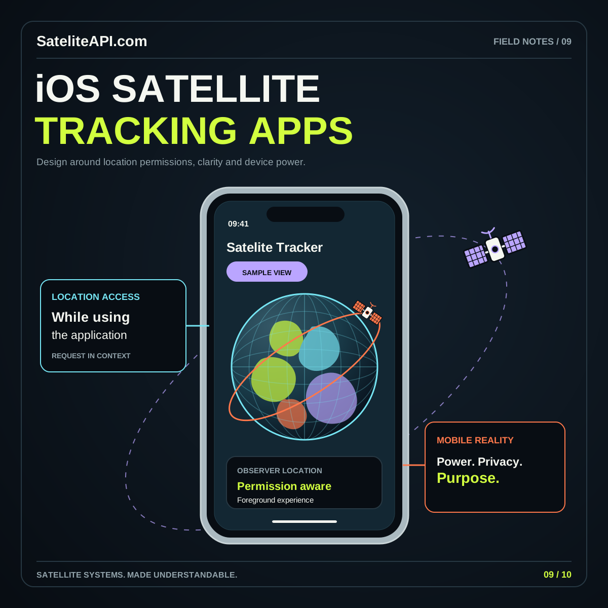
Read the guideAn effective iOS satellite tracker starts with a useful observing workflow. Explore how to organize orbital data, request location in context and build reminders that stay understandable when conditions change.
Read the guide