Start with the question your app must answer
A satellite API is a software interface that gives an application access to information connected with satellites. The phrase covers several different jobs, so choosing one begins with a plain question: what should a person be able to learn or do? A classroom globe, a landscape comparison tool, and a location-aware mobile application each need a different answer.
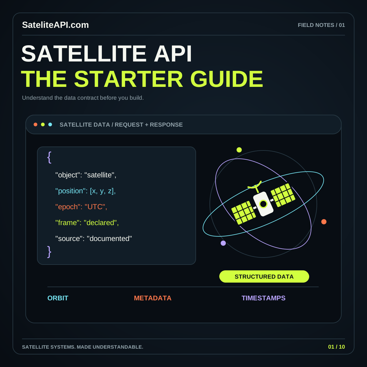
Write that answer as a short task. “Show a spacecraft’s estimated position at a chosen time” is useful. “Add space data” leaves too many decisions unresolved. Follow the task with an example input, the expected output, and the level of explanation the user needs. This creates a simple contract before interface design begins.
Use the satellite API overview to explore the main categories, then build one narrow integration that proves your selected source can support its intended task.
Identify the data family before comparing providers
For Earth observation, an API often helps locate datasets and the files within them. NASA’s Common Metadata Repository search documentation describes collection and granule searches, including spatial and temporal filters. An application can therefore search for observations before deciding which assets to retrieve.
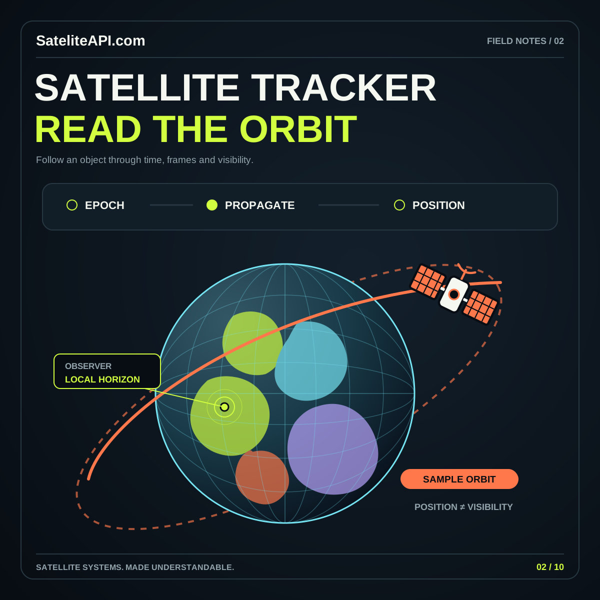
Orbital services answer a different question. CelesTrak’s GP data documentation describes orbital element formats intended for propagation. Those records support estimates of spacecraft motion; they are not photographs of the ground. Meanwhile, a location feature concerns the observer or device, which belongs in its own workflow.
Keep these families separate in your requirements. A useful comparison sheet should state whether each candidate supplies metadata, image assets, orbital records, calculated positions, or another specific product. Mark an unknown answer as a question for the provider, not an assumed feature.
Describe the request in human terms first
Before choosing parameter names, describe what the request means. For an imagery search, that might be a study boundary, an observation interval, an acceptable product type, and a limit on results. For an orbit display, it might be an object identifier and a prediction time. The human description should still make sense when the provider changes.
Specify units alongside values. Decide which clock a timestamp refers to and how your interface presents the viewer’s local time. Explain whether a boundary touches, contains, or merely overlaps a result. These small decisions are easier to settle with one example than with a long abstract specification.
Build a sample request using a small area or a single object. Save the response and annotate unfamiliar fields. Any value that cannot be explained confidently deserves investigation before it becomes a chart label, filter, or headline.
Inspect the result beyond its visual appeal
A successful request does not prove that its result is suitable. Review the record’s origin, acquisition or reference time, processing history, quality information, and stated limitations. Check whether the example covers the conditions your users actually care about. A beautiful image from one clear day tells little about an entire seasonal workflow.
For a practical evaluation, choose three cases: an ordinary result, an incomplete result, and a request expected to return nothing. Compare how much information survives in each case. Your application should explain a missing observation instead of quietly replacing it with an unrelated scene.
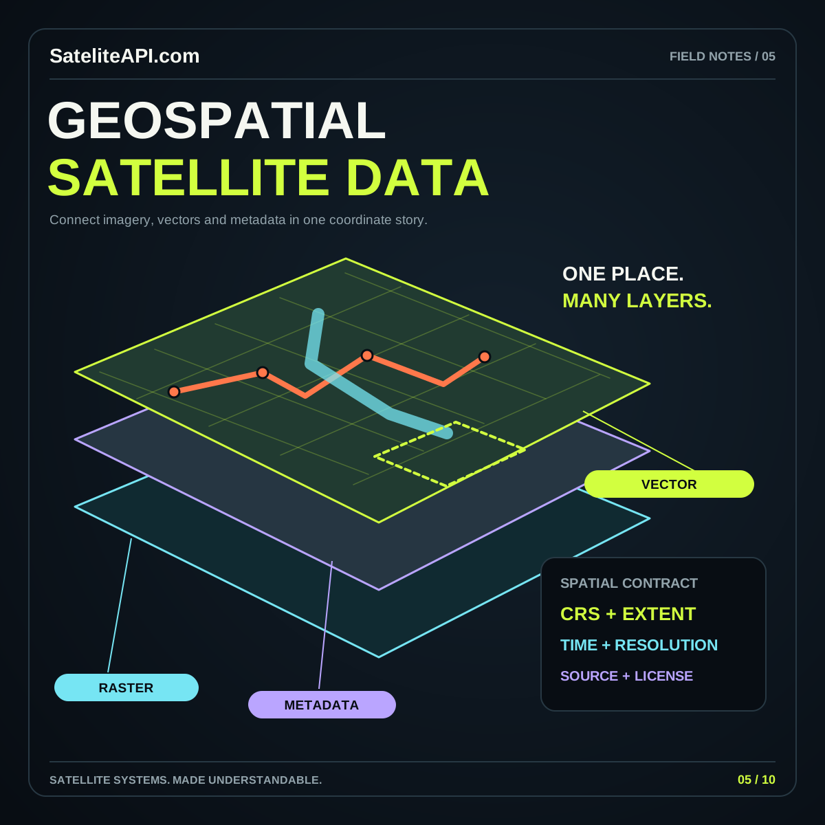
Record the distinction between a thumbnail and an analytical asset. The STAC specification overview describes items that link data assets with time, geometry, and related metadata. That structure is a useful reminder to carry context with every result you display.
Plan for credentials, limits, and interrupted requests
Treat integration behavior as part of the product design. Read the chosen provider’s authentication and usage documentation, then decide where requests belong. Keep credentials requiring confidentiality on a server you control. A downloadable static website should not contain a secret that becomes visible to everyone who receives its files.
Set explicit behavior for slow responses, rejected requests, expired access, and empty searches. Cache suitable results according to the provider’s terms, and show when they were retrieved. Make retries deliberate and bounded so a temporary problem does not become a stream of repeated requests.
Separate the educational interface from any future production connection. An example response should say it is an example. A functioning public integration should identify its actual source. This makes a prototype useful today while keeping its labels honest as the project develops.
Turn the response into an understandable result
Design around the decision the user is making. Someone comparing observations needs dates and a clear way to inspect differences. Someone exploring an orbit needs a selected time, recognizable object identification, and a description of the position estimate. A long JSON response is valuable for developers but rarely sufficient for everyone else.
Use a compact result summary with a route to the underlying detail. Put provenance, time, and quality explanations near the visual rather than hiding them in a distant help page. Give an export a descriptive filename and include enough context to identify what the file represents later.
Connect related learning paths when they answer the next question. The satellite tracker API guide explains orbital inputs, while the geospatial satellite API guide develops the imagery and coordinate workflow.
Prove one complete workflow before expanding
Build a small acceptance exercise around your original task. Start with a known input, request or load the source data, transform it, render the result, and export a useful record. Ask someone unfamiliar with the implementation to explain what the screen means. Their questions reveal missing context more quickly than another decorative component.
Keep a short decision log describing why you selected the source, which fields you use, and which assumptions remain. Include the provider documentation links so another developer can revisit the reasoning without reconstructing it from code. If the source changes, this record helps you identify the affected behavior.
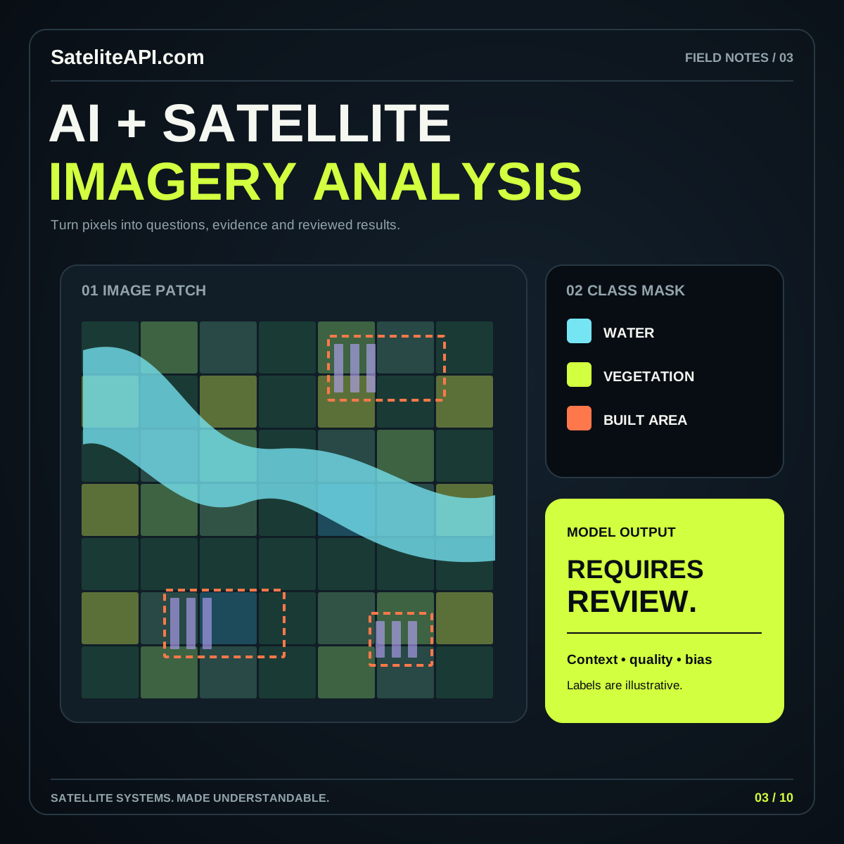
Expand only after the complete path works. Additional constellations, larger search areas, and richer visualizations should extend a clear model. For analytical features, continue with the AI satellite imagery workflow and define its validation separately.
Common satellite API questions
Does every satellite API provide live data? No universal promise follows from the name. Check what the provider delivers, when it was observed or calculated, and how often that source updates. Publish those answers beside the result.
Should a beginner start with imagery or orbit data? Start with the category that answers your first concrete task. A well-explained single-object viewer or one-region image search is a better starting scope than an interface combining unrelated outputs.
Can a static site become an API application later? Plan a clear boundary between its pages and its data connection. Public, permitted browser requests may fit some services; other integrations need a server. Evaluate that boundary using the selected provider’s actual access requirements, then keep the learning experience usable when a connection is unavailable.
Sources and further reading
Sources were consulted for this general guide. Illustrations are explanatory; orbital and screen examples are not live telemetry.