Start with a clear boundary between data and rendering
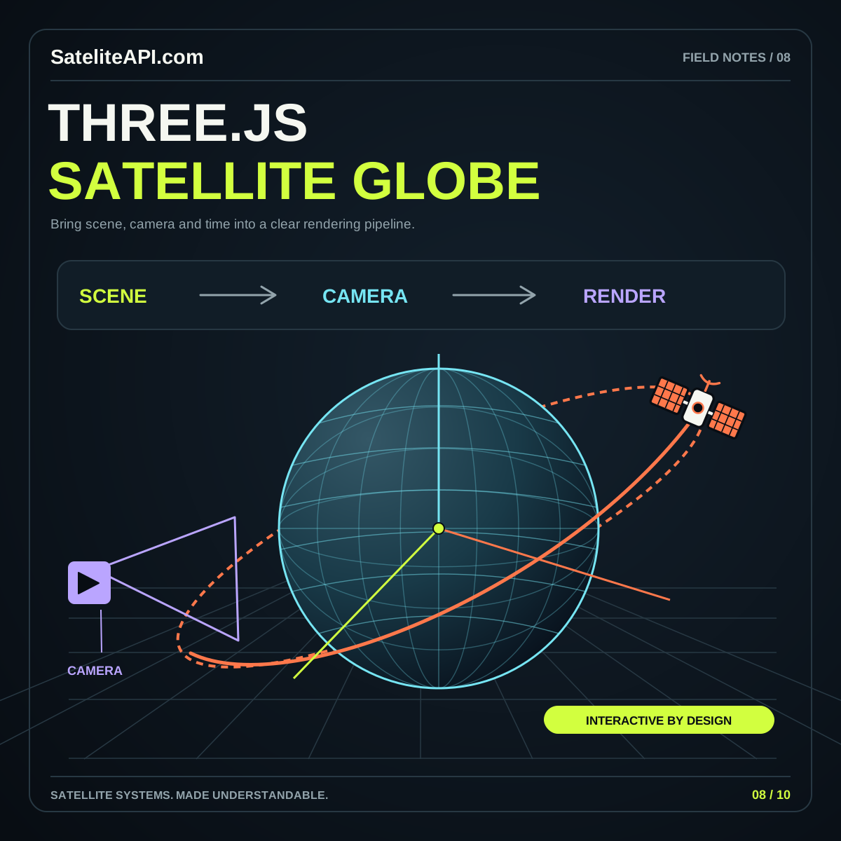
A Three.js satellite globe combines two kinds of work: deciding what the data means and deciding how to show it. Keep these responsibilities separate from the first prototype. The data layer should provide documented positions, identifiers and times. The scene should turn those values into geometry, labels and selection states. Styling a marker should never change the meaning of its coordinates.
Begin with a small demonstrator: Earth, one reference location, one illustrative satellite and a time readout. Label the dataset clearly. Add a real provider integration only when its format, usage terms and update behavior are understood. This makes it possible to review the visual before tying it to a network dependency.
The Three.js satellite API topic page outlines the broader integration questions. For the rendering component itself, prioritize a predictable scene structure and readable controls over a long list of effects.
Choose Earth geometry and visual detail deliberately
Three.js provides SphereGeometry with parameters for radius and horizontal and vertical segmentation. Those parameters describe the mesh; they do not by themselves establish a geographic coordinate system. Keep the mesh's display radius and any geographic model documented as separate decisions.
Use enough detail for the intended camera distance. A globe that occupies a small panel has different needs from a full-screen explorer. Begin with a simple material and latitude or longitude reference marks so you can inspect orientation. Introduce a texture only after familiar reference points appear in the expected places.
Give surface imagery a clear source and license, and distinguish an attractive Earth texture from a current observation. If you add an atmospheric rim or cloud layer, treat it as a presentation layer unless its underlying data supports a stronger claim. A modest globe with an honest legend makes a better foundation for a reliable tracker.
Write one coordinate mapping for the entire scene
Three.js objects have an up direction, with a default of (0, 1, 0), as described in the Object3D reference. Decide how your geographic axes map into that scene convention. Do not assume that an imported position vector, a texture and a marker utility already share the same orientation.
For a simple spherical illustration, one possible convention places north on positive Y and longitude zero on positive X. With latitude and longitude in radians and r as the scene radius, define x = r cos(latitude) cos(longitude), y = r sin(latitude) and z = -r cos(latitude) sin(longitude). This is a chosen display mapping, not a complete transformation for arbitrary orbital data.
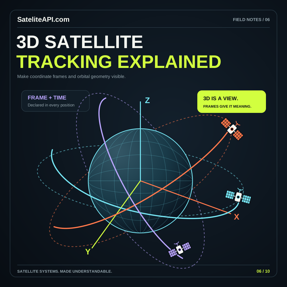
Verify the equator, poles and several familiar locations before plotting a satellite. Handle source reference frames and time-dependent transformations in a dedicated adapter; the 3D satellite tracking guide explains why that boundary matters.
As a practical check, place a marker at zero latitude and zero longitude, then another at the same latitude ninety degrees east. Rotate the scene and confirm that both remain attached to the intended surface locations. Next, inspect whether the Earth group and marker group receive the same display rotation. A correct conversion can still look wrong if one group inherits an extra transform.
Keep the simulation clock independent of visual motion
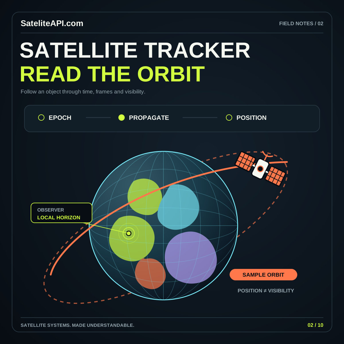
Give the scene one selected time and use it consistently. A camera orbit, a rotating decorative glow and the selected satellite time are different controls. Someone should be able to pause the represented situation and still move the camera to inspect it. Conversely, resetting the camera should not erase a carefully chosen time.
Design data refresh and visual refresh as separate processes. New orbital information may arrive at one cadence while the display draws smooth frames at another. When interpolating between samples, label the result appropriately and define the supported interval. Decide whether a newly received dataset updates immediately or waits until a paused review ends.
Keep source epoch, retrieval time and display time available in the interface or an expandable details panel. During a failed refresh, retain a clearly labeled last-known dataset if that behavior fits the product. Do not replace a data problem with an unlabeled animation that merely looks continuous.
Budget rendering quality for the actual viewport
The Three.js responsive design manual distinguishes the canvas's CSS display size from its drawing buffer resolution. It also explains why rendering at a high device pixel ratio increases the pixel workload. Make resolution an intentional quality setting, especially for a globe embedded in a content page.
Measure the container when it changes size, update the renderer dimensions and maintain the correct camera aspect ratio. Avoid stretching the canvas to fit a new layout while leaving the underlying scene projection unchanged. A circle should remain a circle when a sidebar opens or a phone rotates.
Review quality on representative devices and offer a lighter mode if useful. Start by simplifying expensive decoration and adjusting rendering resolution before removing essential labels. Keep a readable fallback for environments where the 3D view cannot initialize. The surrounding article, satellite list and navigation should continue to serve the visitor.
Manage resources and selection as the scene changes
Replacing a dataset can create new geometry, materials and textures. Three.js's cleanup guide explains that these resources need explicit disposal when they are no longer used. Removing a visible object and releasing its underlying resources are related tasks that should be handled deliberately.
Give each scene component a clear owner and a cleanup path. If multiple objects share a material or texture, ensure one component does not dispose of a resource that another still needs. Exercise repeated open, close and dataset-change actions during review instead of inspecting only the first successful load.
Store selection by a stable satellite identifier rather than an array position. If the chosen object disappears after a refresh, explain what happened and offer another selection. Keep the details panel synchronized with the highlighted marker. This makes navigation resilient as the available collection changes and gives users a consistent way to compare objects.
Make the globe usable without mastering the camera
Provide ordinary controls for search, selection, pause and reset. A concise list or table should expose the important information outside the canvas. Use clearly named buttons and visible keyboard focus. Reserve pointer dragging for a helpful viewing action, rather than making it the only route to understanding the page.
Review the scene with motion reduced, with long satellite names and with no objects available. Ensure an error message does not sit beneath the canvas or disappear behind an overlay. A visitor should always understand the current selection, the displayed time and the status of the data.
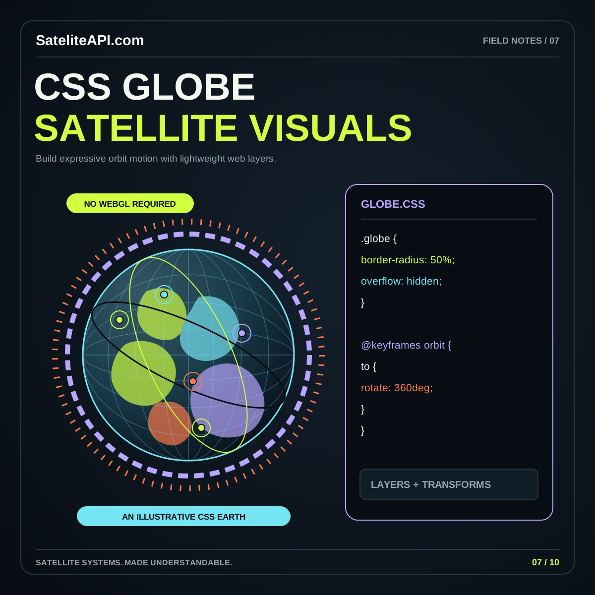
Before release, compare a few reference positions and timestamps with an independent calculation or trusted dataset. Then review the complete reading experience on small and large screens. If the required interaction is mostly illustrative, the CSS globe article offers a simpler alternative worth considering alongside a full 3D renderer.
Sources and further reading
- Three.js: SphereGeometry
- Three.js: Object3D
- Three.js Manual: Responsive Design
- Three.js Manual: Cleanup
Sources were consulted for this general guide. Illustrations are explanatory; orbital and screen examples are not live telemetry.