Give the model a specific job
AI satellite imagery analysis starts with a question about the ground, not with a model name. A project might ask which areas belong to several land-cover classes, where a visible change deserves review, or which scenes contain useful examples for a specialist. Each question needs its own definition of success and its own reference evidence.
Write a short task statement that describes the input, output, and intended reviewer. For example, a learning project could highlight candidate changes between selected observations and let a person inspect both dates. That is a clearer scope than promising automatic understanding of every image.
Use the AI satellite API overview to organize the workflow. The central design principle is to make a model’s output inspectable: a reader should be able to see the source observation, understand the prediction, and identify what still requires judgment.
Understand the model options without chasing size
Different projects can justify different approaches. Google Earth Engine’s supervised classification guide describes a workflow using labeled training examples, classifier training, classification, and independent error assessment. This provides a concrete starting point for a team learning to connect observations with defined classes.
Foundation models offer another path. NASA’s Prithvi overview describes pretraining on Harmonized Landsat and Sentinel-2 data and adaptation to downstream Earth-science tasks. The relevant lesson is that model preparation and task adaptation both matter; an impressive general description does not establish performance for your own study area.
Compare candidate approaches using the same small evaluation problem. Include a simple baseline, record the effort required, and examine the errors. Choose the approach that best serves the intended output, maintenance capacity, and evidence requirements.
Prepare observations before interpreting predictions
Review each input’s acquisition date, geographic coverage, band meanings, units, and quality information. Keep this information with the working files. A model should receive the kind of data its instructions expect, and your processing notes should explain every change made between the downloaded asset and the inference input.
The USGS Landsat quality assessment documentation describes pixel flags for conditions such as clouds, cloud shadows, and snow. Those flags provide context for selecting or masking observations. They should not disappear simply because the next step uses an AI model.
Create a preview of the prepared input alongside the original. This helps reveal accidental clipping, missing areas, or an unexpected band order. If you cannot explain the prepared image, stop at that stage. A polished prediction map will not make an unclear input process easier to reproduce.
Write a labeling guide that another person can follow
For a supervised project, begin with definitions that are understandable outside the development team. What counts as each class? What should happen near a mixed boundary? How should an uncertain example be recorded? A small labeling guide turns those questions into decisions that reviewers can apply consistently.
Use a set of representative examples and ask two people to interpret them independently. Compare disagreements before creating a large collection of labels. If reasonable reviewers understand the task differently, the problem definition needs work before model tuning begins.
Keep uncertain examples visible in your notes rather than forcing every image into a confident class. For a change-detection exercise, record which dates were compared and why the reference conclusion was reached. That record makes it easier to revisit an apparent model error and distinguish an ambiguous label from a clear analytical failure.
Evaluate with examples that challenge the intended use
Keep evaluation examples separate from the data used to fit the model. Earth Engine’s classification documentation explicitly includes independent validation as part of its workflow. Build on that principle by choosing examples that resemble the situations your product will encounter, including difficult and incomplete observations.
For a project intended to work in several regions, reserve a region for evaluation and inspect the result before expanding. For seasonal comparisons, consider how the model performs across the seasons you intend to support. These are practical ways to test the claim you actually plan to make, rather than relying on an attractive average alone.
Review individual mistakes as well as summary measures. Count missed targets and false alerts separately because their consequences differ. Explain which errors would make the output unusable, then set acceptance criteria around those cases. Do not adopt a threshold merely because it makes a demo look cleaner.
Design a review screen around evidence
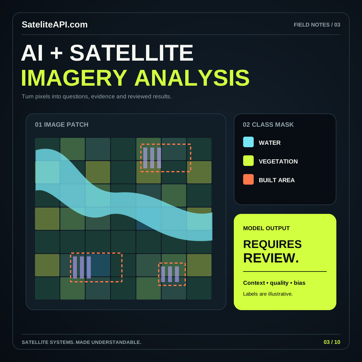
Place the observation, prediction, and relevant metadata close together. A reviewer should be able to switch dates, inspect a disputed area, and understand the meaning of each color without opening several unrelated screens. If a model produces a score, describe what that score represents according to the model documentation.
Do not label an arbitrary score as a guaranteed probability. Likewise, keep model-generated reconstructions distinct from observations. NASA’s Prithvi discussion includes work on filling cloud-related gaps; if a project uses such an output, the interface should preserve that distinction so a viewer can tell measured input from estimated content.
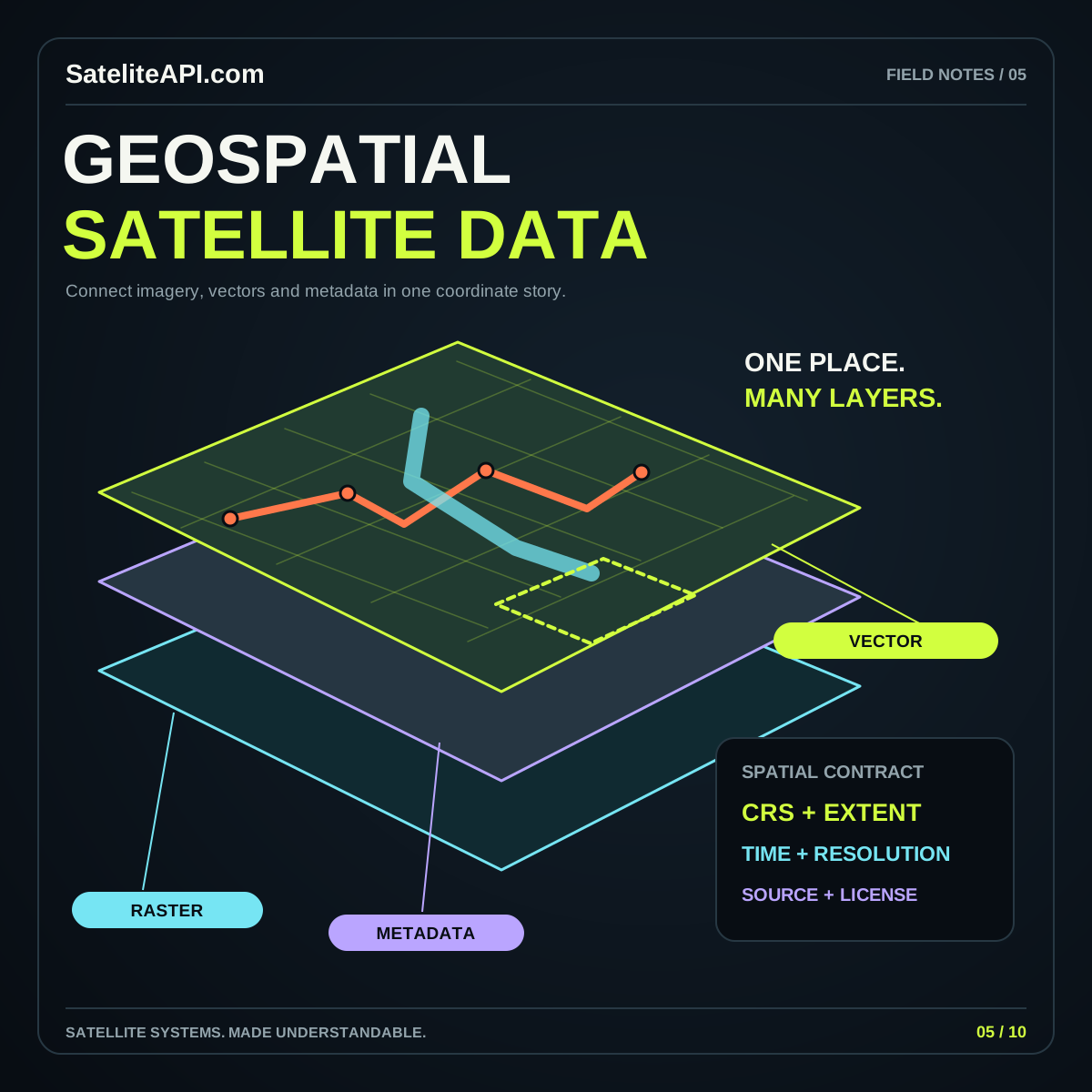
Provide a route to the source and a short method note. The geospatial satellite API guide explains how asset metadata and coordinate information support traceable maps. Good visualization should help a person question the output as easily as admire it.
Deliver a repeatable workflow with a useful record
Save the model identifier, configuration, input asset references, processing choices, and evaluation summary with each release. Give an exported prediction enough metadata to be understood after it leaves your application. A named file without a date, study boundary, or method reference is difficult to compare reliably later.
Run a limited pilot before presenting the workflow as a general solution. Ask the intended reviewer to complete a realistic task, note where they hesitate, and revise the presentation. This often reveals that an explanation, filter, or source link is more valuable than another model option.
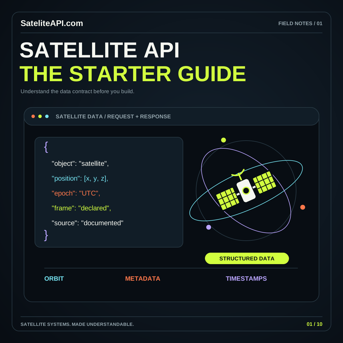
Keep the integration boundary clear. The satellite API integration guide covers source selection and response handling. An educational static site can demonstrate the workflow and explain requirements, while a deployed analysis service must separately provide its actual data access and computation.
Practical questions about AI imagery
Can AI replace reference data? Treat reference evidence as part of the project, including the evidence used to evaluate the output. A model prediction alone cannot demonstrate that the same prediction is correct.
Should every project use a foundation model? Compare it with a simpler baseline on your task. The answer should follow observed results and operating requirements, not a preference for the largest architecture.
What belongs in the first release? One clearly defined task, a documented input process, representative evaluation examples, and a review interface that exposes uncertainty. Expand the geographic area and supported conditions only when you have evidence that the workflow remains useful. This approach turns AI from a decorative feature into a process a reader can examine and a team can improve.
Sources and further reading
- Google Earth Engine supervised classification
- NASA Prithvi geospatial foundation model overview
- USGS Landsat Collection 2 quality assessment bands
Sources were consulted for this general guide. Illustrations are explanatory; orbital and screen examples are not live telemetry.