THREE.JS + INTERACTIVE SCENES

Build a globe people can explore.

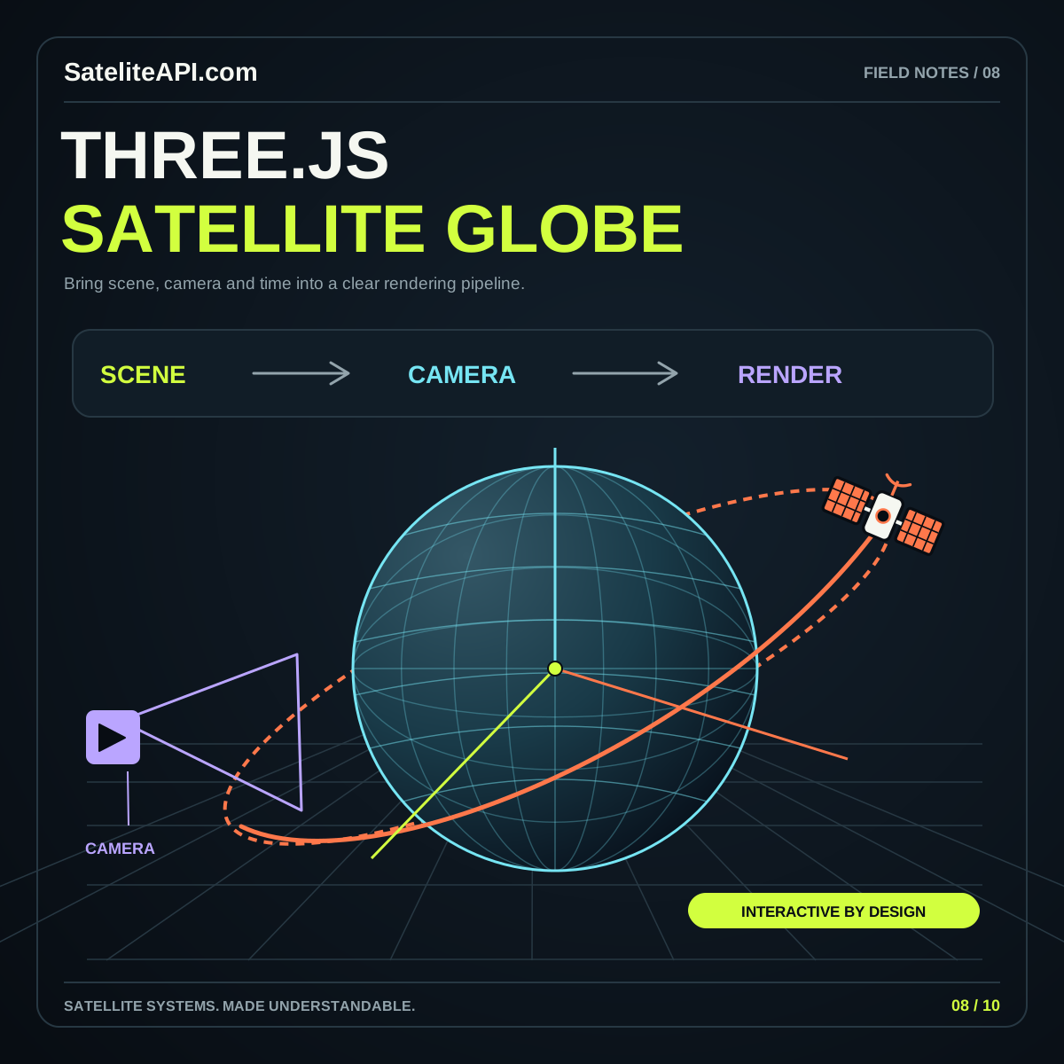
Explore the choices behind an interactive satellite globe. Plan scene structure, coordinates, camera behavior, and responsive presentation so a reader can investigate a spatial idea without losing track of what the visual represents.

THE SHORT VERSION

Three.js Satelite API

Three.js provides building blocks for a scene; your project defines its meaning. Its SphereGeometry documentation describes sphere construction, one possible starting point for a globe. Build the experience around a question, then connect the rendered objects to clearly identified inputs. A thoughtful scene makes selection, orientation, and explanation work together.

UNDERSTAND THE BUILDING BLOCKS

Start with what matters.

01 / THREE.JS SATELITE API

Scene structure

Keep globe surfaces, orbit paths, selection markers, and interface labels organized by role. Choose a consistent naming approach so the part responsible for a visual can be found without tracing every object in the scene.

02 / THREE.JS SATELITE API

Coordinate boundaries

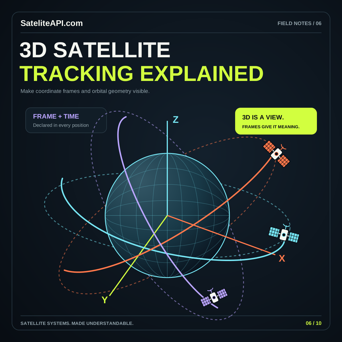
Define a clear boundary between input data and display coordinates. Record axis conventions, scale, and time handling. Feed the visual layer a documented result so camera changes and styling decisions remain separate from calculations about the satellite.

03 / THREE.JS SATELITE API

Responsive rendering

The Three.js responsive-design guide discusses adapting the canvas and camera to display size. Review your scene at the actual space available within the page, including nearby controls, rather than designing only for a full desktop window.
A PRACTICAL PATH

From idea
to useful experience.

  1. Start with one object

    Create a simple globe and one clearly labeled object or illustrative path. Add a short description of what the scene represents before introducing textures, large object lists, or decorative effects.

  2. Make exploration predictable

    Provide clear selection and reset behavior. Check that people can recover their orientation after moving the camera and that the selected object’s explanation stays available when it leaves the visible part of the globe.

  3. Connect the learning paths

    Experiment with orbit relationships in the browser explorer, then use the full Three.js guide to plan a separate implementation. Carry source context and accessible text into each new scene feature.

Three.js Satelite API visual overview
THE CONNECTED VIEWThree.js Satelite API
↗
Do not let the camera become the interface

If essential information appears only after a precise drag or zoom, readers can miss it. Provide direct controls, a stable detail panel, and a useful starting view. Make the meaning available even when someone never rotates the globe.

COMMON QUESTIONS

A little more clarity.

Does Three.js supply orbital data?

Plan the rendering layer and the data source as separate parts of the project. A scene needs explicit inputs and interpretation. Review provider and model documentation before connecting calculated spacecraft positions to the visual.

What should a first globe demonstrate?

Show one understandable spatial relationship with reliable selection, readable context, and a reset. Expand only when the scene stays clear on smaller displays and the important information also works outside the animated canvas.

YOUR NEXT READ

Go deeper.

Browse every subject