Understand what a tracking result represents
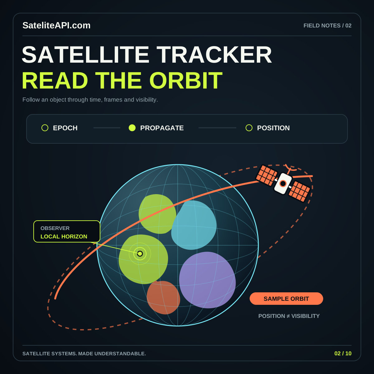
A satellite tracker API can make an orbit feel immediate: choose an object, move a time control, and watch a marker travel around Earth. The useful question is what sits behind that marker. Does the service return an observation, orbital elements, or a calculated position? Those outputs should have different labels because they answer different questions.
CelesTrak’s SGP4 tutorial explains the relationship between general perturbations orbital data and a compatible orbit propagator. Propagation calculates a position for a requested time from an orbital model. Smooth animation is therefore not evidence of a continuous measurement stream.
Begin your design by naming the output accurately. A position estimate can be highly useful when its source and time are visible. Explore the satellite tracker overview for the surrounding concepts before treating a moving globe as the finished product.
Read the orbital record as a model input
An orbital record needs an object identifier, a reference epoch, and the parameters expected by its propagation model. The epoch anchors the record in time. Preserve it through your pipeline so the final interface can explain which input produced a displayed position.
CelesTrak documents GP data in several formats, including legacy two-line element sets and structured OMM-related formats. Its format guidance also explains the identifier limitations of the legacy TLE layout. Choose a supported format intentionally rather than assuming the shortest sample will remain the best integration choice.
For your first implementation, save one valid record and a small set of expected outputs. Keep object names separate from stable identifiers in your application data. Names are useful for people; a repeatable lookup should use the identification scheme documented by the source.
Pair the data with its intended propagator
Treat the propagator as part of the data contract. A set of orbital parameters is not a universal recipe that can be passed unchanged into any mathematical model. CelesTrak’s SGP4 documentation provides the appropriate starting point for interpreting its GP records, initializing a compatible implementation, and calculating a state at a requested time.
In an application project, isolate that calculation from the visual layer. A small function should accept a validated record and time, then return a clearly described state or an explicit error. The globe should consume that result rather than quietly applying its own unrelated orbit approximation.
Keep units, coordinate frames, and time handling visible in the development notes. When a result looks wrong, compare one calculation before inspecting thousands of animated points. A simple repeatable example is easier to diagnose than a visually complex scene with several transformations.
Translate a position into the observer’s sky
A global position display and a local pass prediction serve different audiences. An observer needs a location on Earth and a view expressed relative to that location. Skyfield’s Earth satellite documentation demonstrates satellite positions, geographic locations, altitude and azimuth, and searches for rise, culmination, and set events.
Present those concepts with plain labels. Explain which direction a bearing references, whether a height is above the horizon, and which time zone appears in a pass table. Allow a manually selected observing location so people can explore a destination without changing their device position.
Keep observer settings beside the results they control. If a user moves the location or changes the time range, visibly refresh the calculation. A pass list for yesterday’s location may be internally consistent while still answering the wrong practical question.
Separate a geometric pass from visible conditions
A useful tracking interface should distinguish an object being above the observer’s horizon from the object being easy to see. Skyfield’s documentation includes checks for sunlight and explains satellite visibility in relation to the observer and the Sun. These are additional conditions beyond simply placing a marker above a horizon line.
For an educational viewer, use separate labels such as “predicted above horizon” and “illumination considered.” Avoid compressing several uncertain conditions into a single confident “visible now” badge. Explain which checks are included and what the interface leaves for the observer to assess.
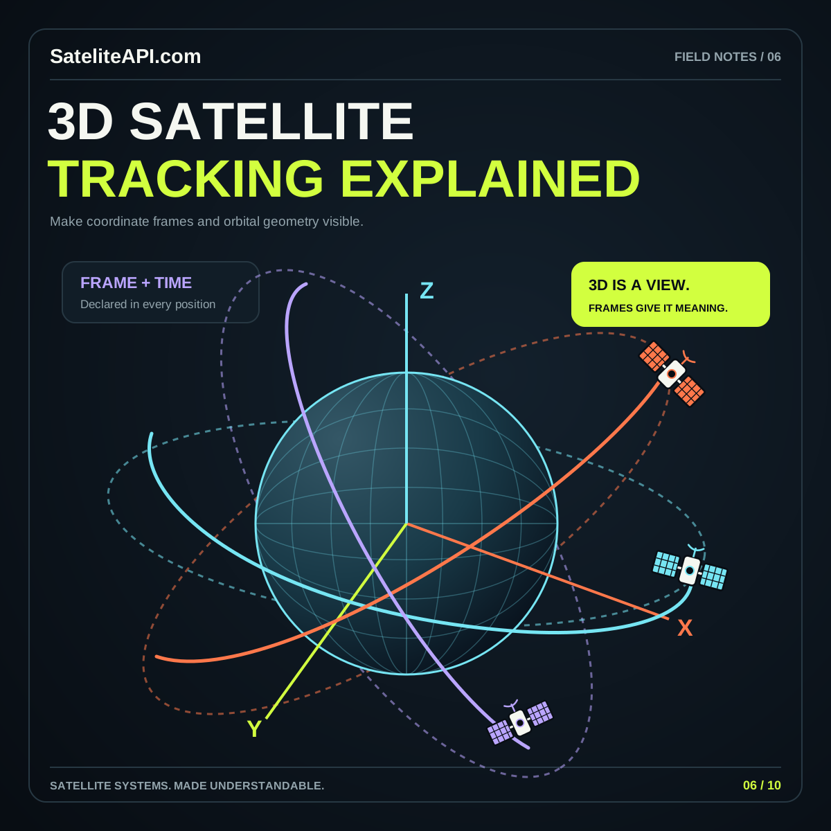
Design the pass card around preparation: location, date, start and end, direction, and the chosen elevation threshold. Then offer a visual explanation. The 3D satellite tracking guide explores how to make orbit geometry understandable without allowing the graphic to imply additional measurement accuracy.
Show data age and uncertainty without hiding the result
Orbital predictions depend on the relevance of their input data to the requested time. Skyfield’s guidance warns that element sets lose usefulness away from their epoch and that current elements are unsuitable for reconstructing a distant historical position. A historical playback therefore needs appropriate historical inputs, not just a time slider.
Make that limitation actionable in your design. Show the element epoch, the selected prediction time, and the retrieval time as distinct values. Define a product-specific stale-data policy after reviewing the source and intended use. If a record falls outside that policy, keep the warning attached to the affected result.
Avoid inventing a single universal accuracy figure. Instead, document the model, source, assumptions, and known limitations. Users can then understand why two trackers may disagree and what information they should compare before drawing a conclusion from a small visual difference.
Build a dependable path from source to screen
Use a staged workflow: retrieve records, validate them, calculate states, transform coordinates, and render the chosen view. Give each stage an understandable failure state. Missing data should not become a satellite at the origin, and an invalid result should not silently reuse a previous object’s path.
For a practical review, try an unknown identifier, an unavailable source, a malformed record, and a requested time beyond your supported range. Check that the interface explains each outcome. Confirm that a paused scene really holds its selected time and that switching objects clears obsolete details.
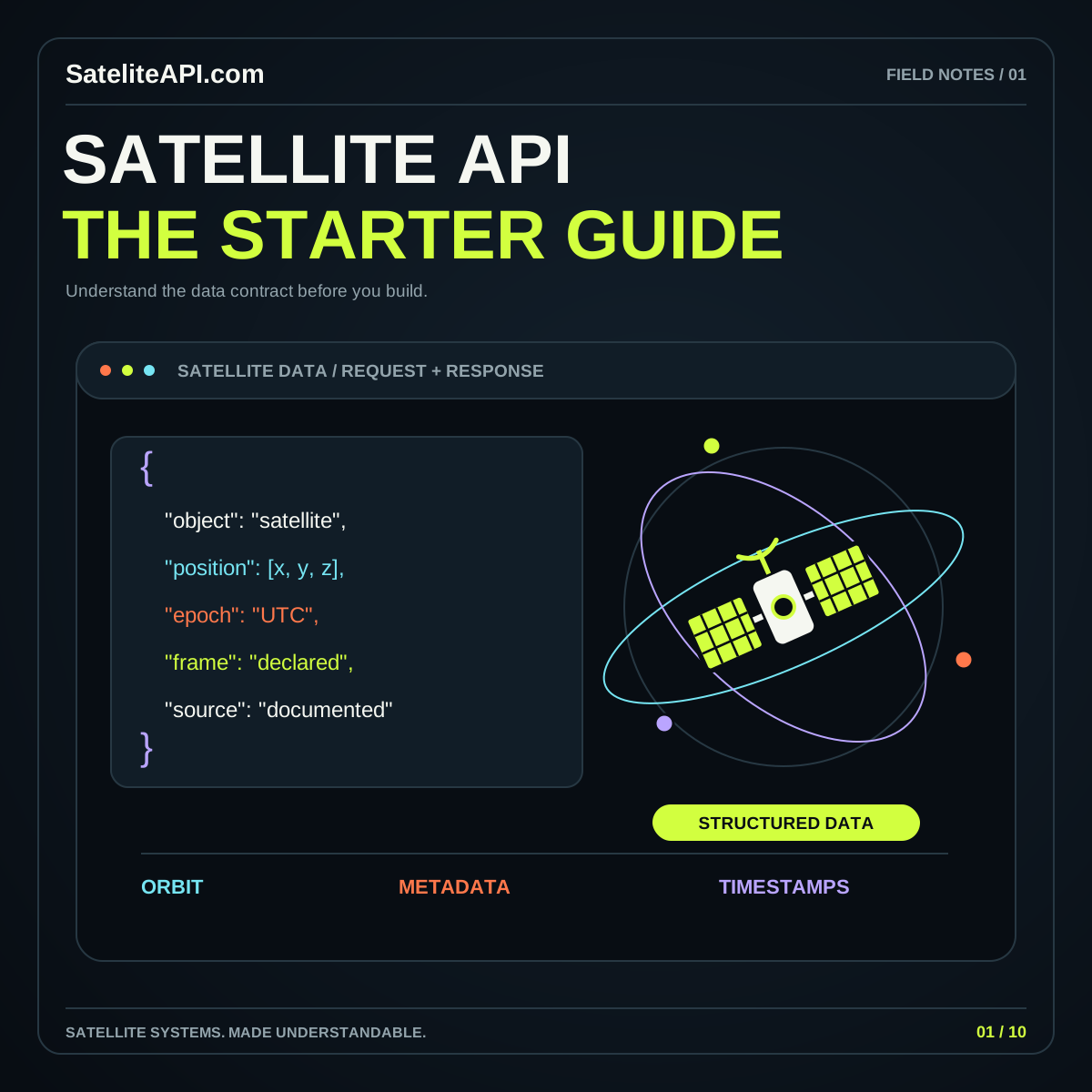
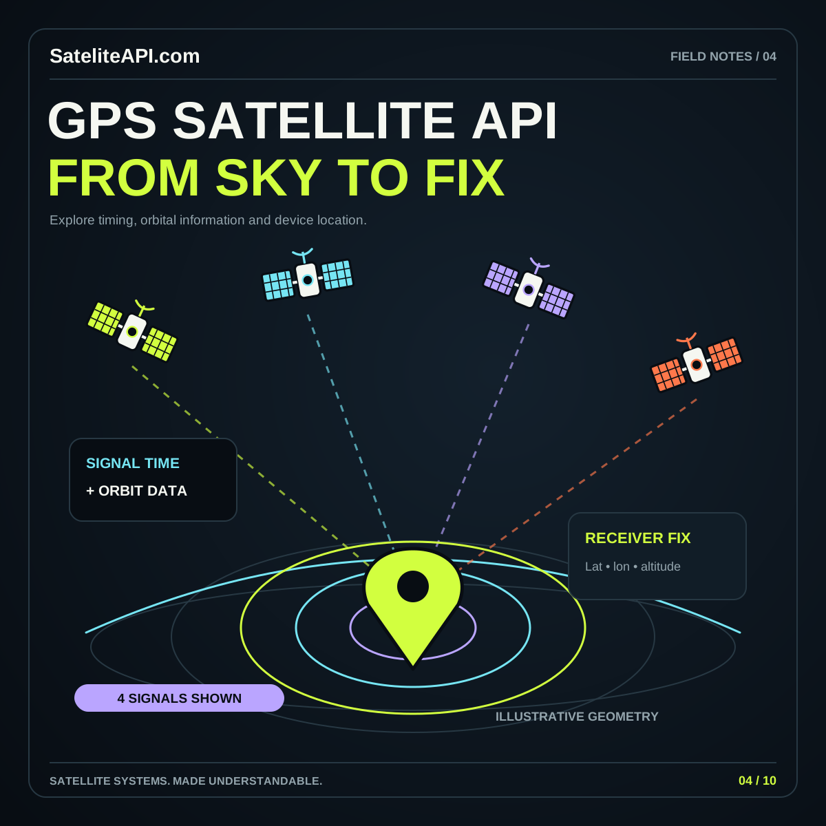
Keep location collection separate from orbital tracking. The GPS satellite API guide explains why locating an observer differs from estimating a spacecraft’s orbit. The broader satellite API guide helps frame access, caching, and provider selection.
Questions to settle before launch
Is this a live tracker? Describe the actual connection and output. If your application propagates stored elements, call its positions predictions or estimates and display the relevant timestamps.
Can users move backward in time? Only advertise a supported historical range after confirming the availability and suitability of the underlying records. A flexible animation control is not the same as a historical archive.
What should a first release include? Choose a small object list, a clear time control, a readable data panel, and one well-explained observer view. Make those features consistent before adding extensive filters or large constellations. A tracking tool earns trust when a person can trace a displayed point back to an identified input and understand the limits of the calculation.
Sources and further reading
Sources were consulted for this general guide. Illustrations are explanatory; orbital and screen examples are not live telemetry.