IOS LEARNING PATH

Explore satellites on iOS.

Plan a satellite experience around the way people use a phone. Explore observer location, readable details, deliberate updates, and touch controls, then practice the underlying ideas with browser tools before considering a native implementation.

THE SHORT VERSION

iOS Satelite API

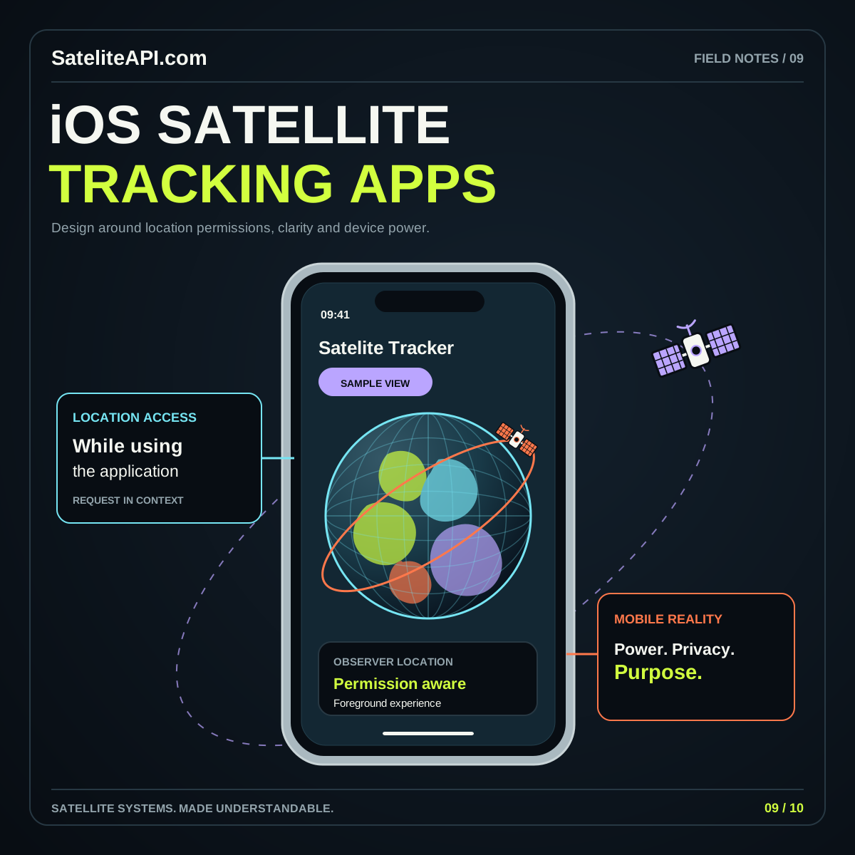
Begin with a simple mobile task: select a place, understand an orbit concept, or inspect a satellite-data example. This page connects the site’s browser tools with a learning path for iOS app design. Apple’s location energy guide recommends limiting location work to the task’s needs, a useful principle when planning a separate native feature.

UNDERSTAND THE BUILDING BLOCKS

Start with what matters.

01 / IOS SATELITE API

Observer choice

Let the person understand which place controls the view. Offer a manually selected location where the task allows it. Keep device position and satellite position separately labeled so the screen does not make two different workflows appear interchangeable.

02 / IOS SATELITE API

Touch-first reading

Keep the chosen object, time, and main action readable without precise gestures. Make controls easy to identify and give every visual exploration a reset. Review the layout with larger text so essential explanations remain beside the relevant action.

03 / IOS SATELITE API

Browser and native scope

For a browser feature that requests device location, review the Web Geolocation interface. A future native project should review Apple’s documentation separately. Describe the experience actually offered and reserve native feature claims for an implemented application.
A PRACTICAL PATH

From idea
to useful experience.

  1. Try a small learning task

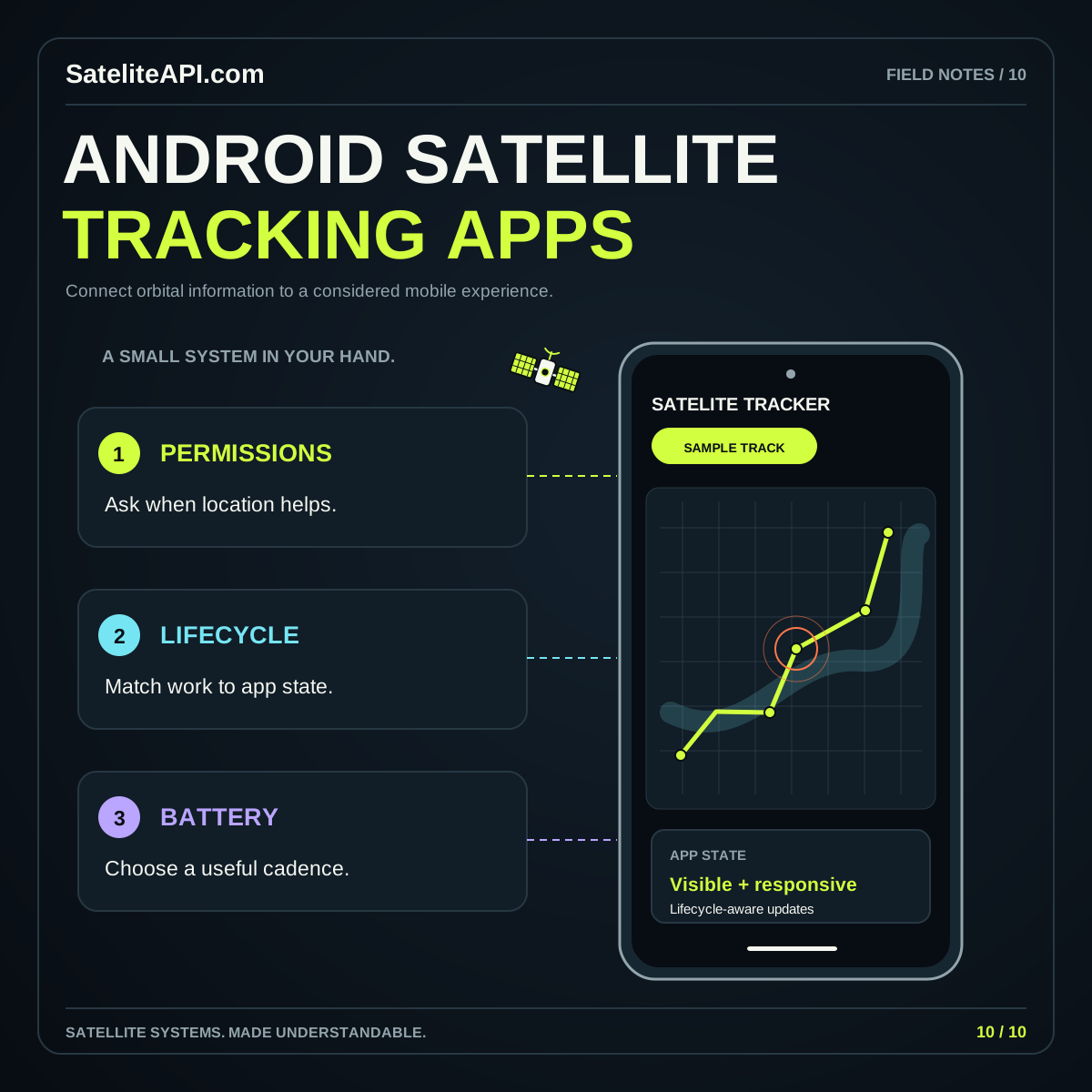
    Open an orbit example and describe its main relationship in your own words. Check that you can find the current selection, understand the controls, and recover the starting view.

  2. Plan location behavior

    Sketch the manual-location path and any optional device-location action. Include a declined or unavailable result. Decide what the user can still explore and how they can change the selected place.

  3. Read the iOS guide

    Continue into the app-planning article for location, updates, and notification considerations. Treat it as an implementation learning path, then verify platform details against current official documentation for your chosen project.

iOS Satelite API visual overview
THE CONNECTED VIEWiOS Satelite API
↗
A mobile webpage does not imply a native app

This learning path and the linked tools run as website experiences. A native iOS release is a separate development and distribution project. Keep navigation and feature descriptions clear about what a reader can open and use today.

COMMON QUESTIONS

A little more clarity.

Is there an iOS app download on this page?

The available starting points are the browser tools and educational guides. Use them to explore satellite concepts and plan a mobile experience. Any separate native release would need its own explicit product and distribution information.

Should a satellite app request location immediately?

Tie any location request to a feature whose purpose the person already understands. Consider a manually chosen observer location first, then evaluate whether a device-location option makes that specific task more useful.

YOUR NEXT READ

Go deeper.

Browse every subject