THREE-DIMENSIONAL EXPLORATION

See the shape of an orbit.

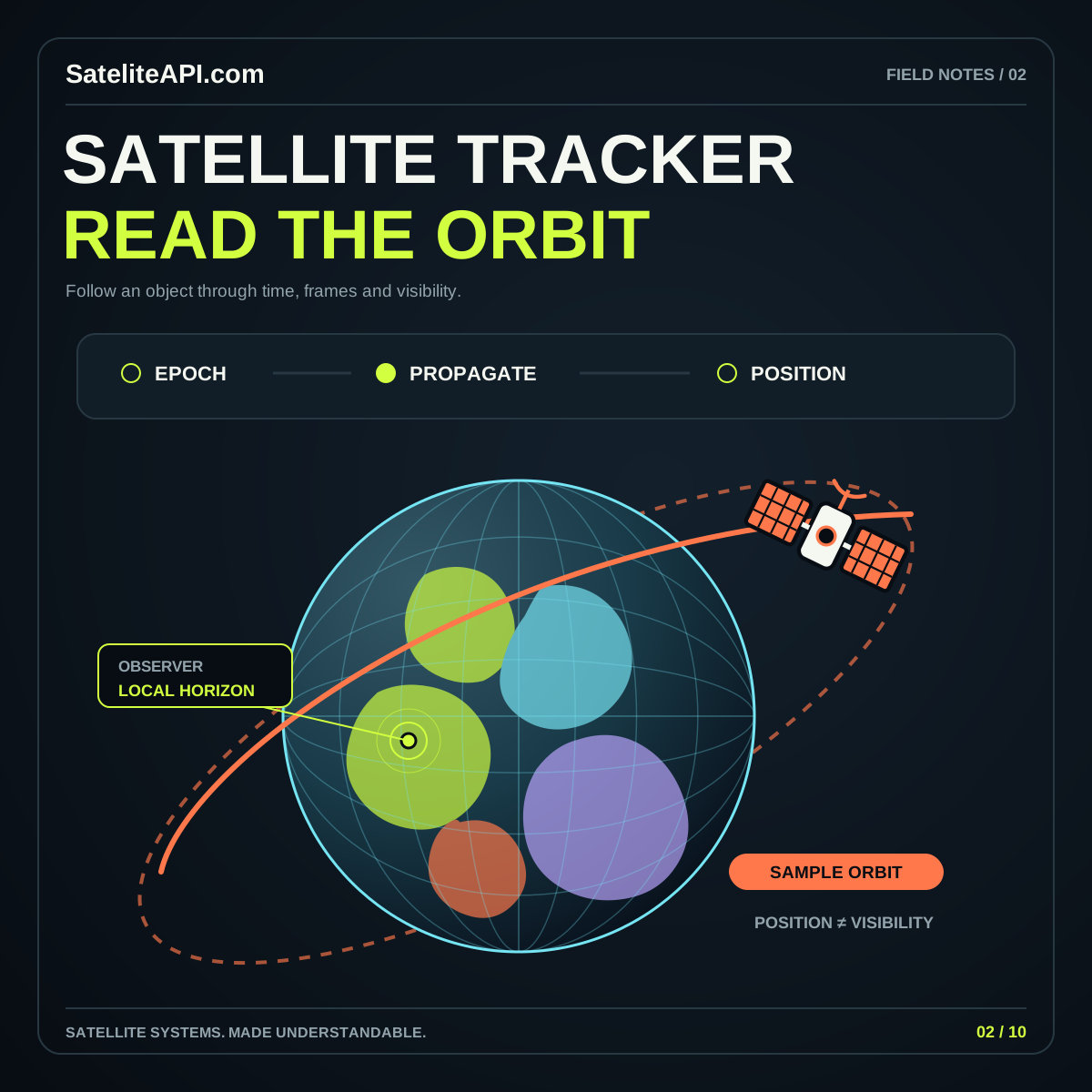
Use a three-dimensional scene to understand relationships that a flat map can hide. Explore orbital shape, viewing angle, scale, and the difference between an explanatory illustration and a position calculated from identified data.

THE SHORT VERSION

3D Satelite API

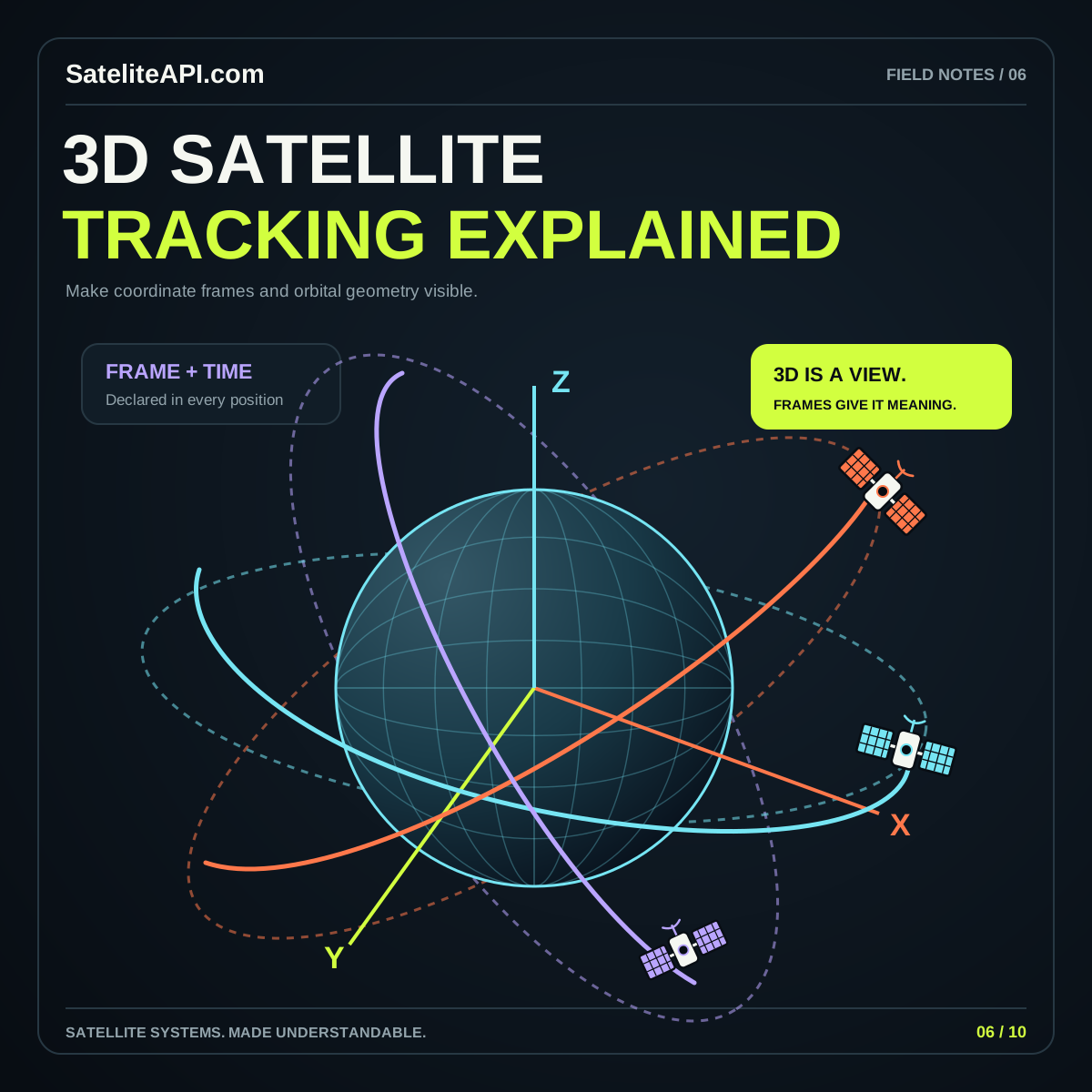
A strong 3D satellite scene answers a spatial question. Decide which object, time, and reference frame it should explain before choosing colors or camera motion. NASA NAIF’s reference-frame guide describes how spatial states depend on their chosen frame. Treat that context as part of the result, then use visual design to make the relationship readable.

UNDERSTAND THE BUILDING BLOCKS

Start with what matters.

01 / 3D SATELITE API

A defined frame

Document the coordinate frame used by your source and the frame expected by the display. Put transformations in an explicit step. A scene can look plausible while combining positions that were defined using incompatible reference conventions.

02 / 3D SATELITE API

A deliberate scale

Choose how large Earth, orbit paths, and markers should appear for the learning task. If a marker is enlarged for readability, explain the convention. Keep visual emphasis separate from claims about a spacecraft’s physical dimensions or measurement precision.

03 / 3D SATELITE API

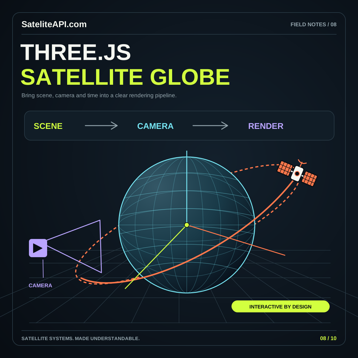
A readable viewpoint

Build camera controls around inspection: overview, selected object, and a useful reset. Cesium’s Cartesian3 reference illustrates explicit coordinate representations and conversions. Keep the data representation understandable even when the final view uses a different rendering approach.
A PRACTICAL PATH

From idea
to useful experience.

  1. Sketch the relationship

    Choose one orbit concept to explain and identify what must remain visible. Start with a simple scene and a short text description that remains useful without animation.

  2. Inspect from several angles

    Rotate the viewpoint deliberately and watch for misleading overlaps or hidden labels. Verify that changing the camera does not appear to change the underlying object or selected time.

  3. Connect scene and source

    Try the orbit explorer, then read the full 3D guide. For a data-driven implementation, attach the relevant source, frame, units, and time information before expanding the display.

3D Satelite API visual overview
THE CONNECTED VIEW3D Satelite API
↗
Visual realism is not a validation method

Lighting, depth, and smooth movement can make an illustrative scene feel authoritative. Validate the numerical and coordinate workflow separately. Use a clear explanation of the scene’s basis so users can distinguish a teaching model from a sourced position display.

COMMON QUESTIONS

A little more clarity.

What belongs beside a 3D orbit?

Include the selected object, chosen time, scale convention, and a description of the displayed path. Offer a text view of the important information so the meaning remains available beyond the camera’s current angle.

Should every satellite page have a complex globe?

Choose 3D when spatial relationships are central to the task. A simple diagram or table may explain a single value more efficiently. Let the reader’s question determine the amount of visual complexity.

YOUR NEXT READ

Go deeper.

Browse every subject