Separate locating a device from locating a satellite
“GPS satellite API” can describe several different interests. One person wants a phone’s location. Another wants information about navigation satellites. A third wants to see a spacecraft moving across a globe. Those interests overlap visually, but an application should define which one it serves before choosing its data interface.
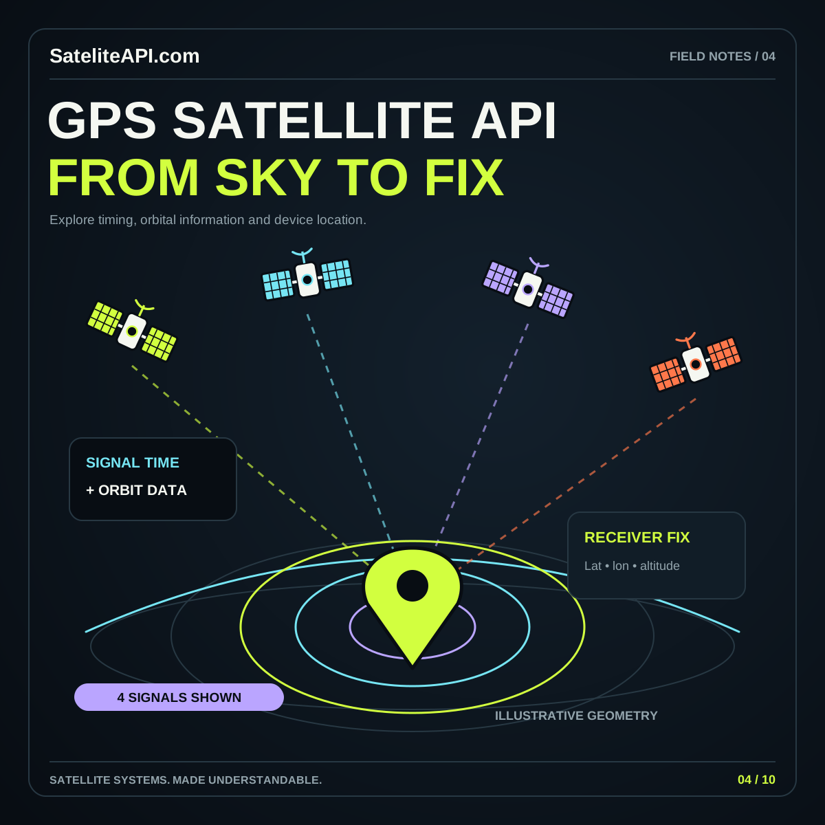
According to GPS.gov’s system overview, GPS provides positioning, navigation, and timing through space, control, and user segments. Receivers use transmitted satellite information to calculate their position and time. That is different from a website obtaining an estimated spacecraft position from orbital data.
Start your requirements with the subject of the location: the device, the observer, or the spacecraft. The GPS satellite API overview helps organize that decision. Naming the subject consistently also makes settings, map legends, and help text easier to understand.
Follow the data path before drawing the map
A location-aware application should explain how a position reaches its interface. For a browser feature, the W3C Geolocation specification describes an interface for obtaining a device’s geographic location. It does not require the implementation to obtain that location exclusively from GPS. The surrounding system supplies the position estimate.
That distinction affects product language. If you request browser location, label the result as a device location estimate unless you have specific evidence about the underlying source. Do not promise a direct connection to individual satellites merely because the screen contains a satellite illustration.
For a prototype, map the steps on paper: user action, permission request, position response, visible result, and optional storage. Write the failure path beside each step. A clear data path prevents the visual design from quietly implying capabilities the integration does not provide.
Ask for location when its purpose is clear
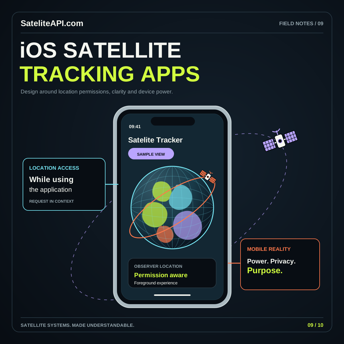
Place the location action next to the feature that needs it. A button labeled “Use my location for this sky view” tells the user more than an unexplained prompt at page load. Offer a manual city or coordinate entry when it can serve the same educational task.
The W3C specification places geolocation behind secure-context and permission requirements. Design for both a successful response and a declined request. A user who chooses not to share a location should still understand what remains available and how to proceed with a manually selected place.
Keep the scope of any stored location explicit. For a simple observer tool, consider whether the application needs to retain a position at all. If preferences are stored locally, explain that behavior near the setting and provide a clear reset. Let the feature’s actual purpose determine the amount of information it keeps.
Show accuracy and time beside the point
A map pin suggests certainty, so accompany it with the information needed to interpret it. GPS.gov’s accuracy explanation identifies satellite geometry, signal blockage, atmospheric conditions, and receiver characteristics among the factors affecting a user’s result. It also distinguishes errors in positioning from errors in the map itself.
For your interface, display the measurement timestamp and the reported accuracy where available. Explain the unit and avoid adding decimal places that create a misleading impression of precision. If you draw an accuracy circle, connect its label directly to the value supplied by the location interface.
Test the visual with an old cached position and an uncertain result. The user should notice both conditions without opening a diagnostic panel. A friendly explanation of an approximate or outdated point is more useful than a precise-looking pin with hidden limitations.
Choose updates around the user’s task
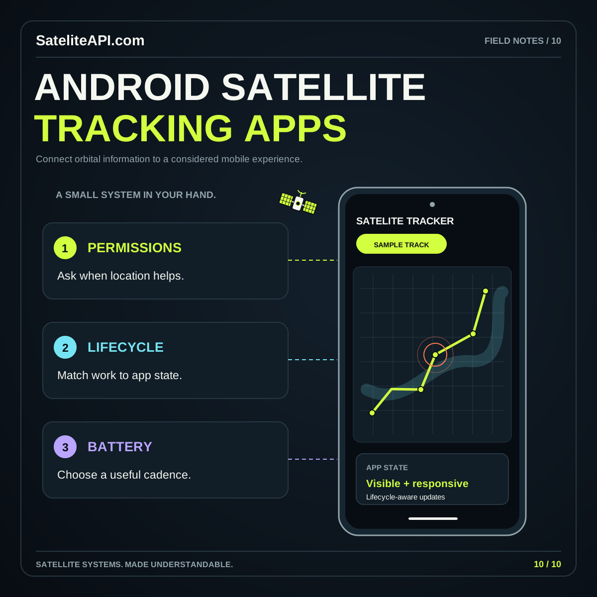
A location feature needs an update policy, not simply a permanent stream of new coordinates. An observer choosing a place for a satellite pass may only need a single result. A moving map may require continued updates while the feature is active. Define that difference before selecting your implementation options.
Set behavior for starting, pausing, resuming, and stopping the feature. When the user pauses tracking in your interface, confirm what actually stops. Clear visible status helps people distinguish a frozen view from a newly measured position that happens to remain similar.
Create a small exercise with movement, a temporary interruption, and a return to the application. Review whether the screen uses old data transparently and whether its controls match its behavior. For platform-specific planning, continue with the iOS satellite app guide and the Android satellite app guide.
Combine observer location with a separate orbit calculation
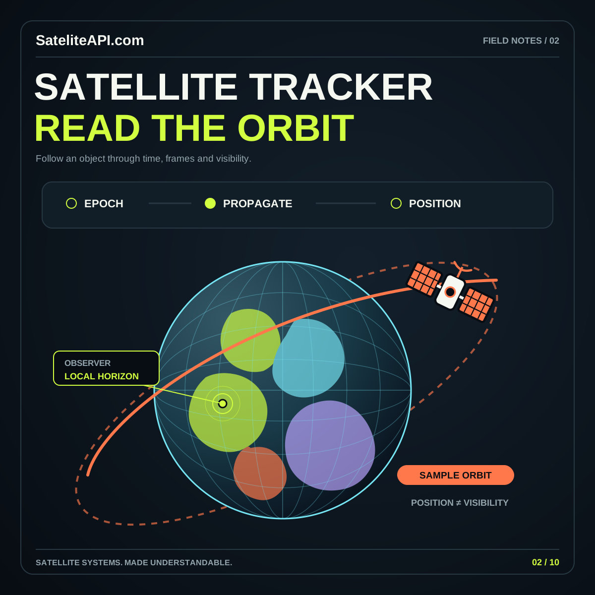
A satellite viewing application can use a chosen ground location as the observer input for a separate tracking calculation. Keep those two records distinct in your data model. One describes where the observer is; the other describes the spacecraft and the orbital information used for its estimated position.
For an educational screen, show the observer name or coordinates near the sky view, and show the spacecraft identifier and orbital reference time near its details. This gives users a way to understand which setting changes a pass prediction and which setting changes the selected object.
The satellite tracker API guide explains orbital records, propagation, and observer passes. Connecting that workflow to a location feature should preserve its limitations. A fresh device position does not make an old orbital record fresh, and a well-rendered satellite path does not establish the device’s positioning accuracy.
Make failure states understandable and recoverable
Prepare readable responses for permission denial, unavailable location, timeout, and stale information. Avoid turning every failure into “GPS is off,” because the application may not know the cause. Describe the observed problem and offer the next useful action, such as retrying or choosing a place manually.
Check that manual coordinates have clear labels and valid ranges before using them. Preserve the entered location when a user changes a display option. If the application cannot complete a request, keep the interface stable and explain which result is still on screen.
Review the experience on a small display with enlarged text. Location, time, and status should remain readable alongside the controls. A compact, accessible interface often communicates more than a full-screen globe covered by unlabeled symbols. Use graphics to orient the person, then let concise text explain the actual state.
Common GPS app questions
Does a GPS satellite API automatically track a phone? Define the requested feature and its actual data source. A device position requires an appropriate location workflow; an orbital catalog describes spacecraft instead.
Can a map pin guarantee an exact location? Treat the pin as a visualization of the supplied estimate. Keep accuracy and time visible, and explain unsupported cases without inventing precision.
What is a sensible first feature? Offer a manually selected observer location, an optional device-location action, and a clear reset. Once those steps are understandable, connect them to a documented satellite-viewing task. That produces a useful foundation for a broader app while keeping its capabilities easy to verify. The goal is a location experience people can understand from its behavior, labels, and evidence.
Sources and further reading
Sources were consulted for this general guide. Illustrations are explanatory; orbital and screen examples are not live telemetry.