Start with the study area and the intended result
A geospatial satellite API helps connect observations with a place and time. The most useful starting point is a study question: which area should be examined, which observation period matters, and what result would help the reader? A seasonal landscape comparison and a single-date visual reference need different selection rules even if they begin in the same catalog.
Describe the study boundary and choose one output for your first workflow. It could be a map preview, a list of available observations, or an exported layer for further examination. Write down what should happen when the requested coverage is incomplete.
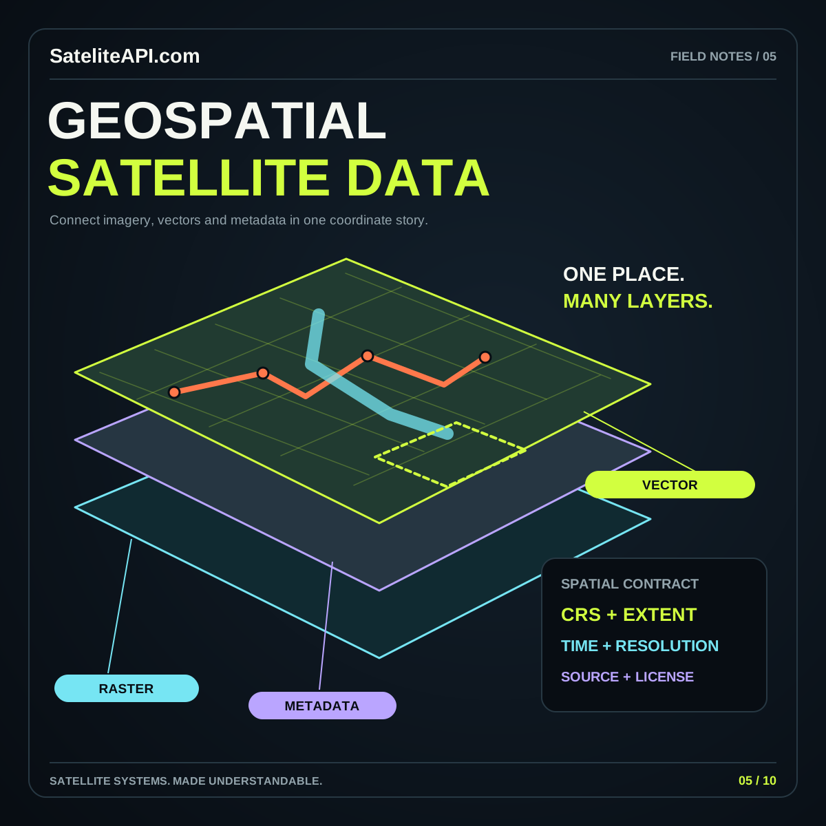
The geospatial satellite API overview introduces the main building blocks. The key habit is to preserve meaning as the data moves: a file should retain enough context for someone to identify where it belongs, when it applies, and what its values represent.
Read the catalog before downloading assets
The STAC specification organizes spatiotemporal assets through items, catalogs, and collections. An item connects a geographic feature and time information with asset links and metadata. A collection adds shared descriptive information about a group of items. This structure helps an application discover relevant material without treating every file as an isolated download.
For a practical search screen, let people narrow a study area and date interval before inspecting individual results. Show enough metadata to compare candidates without opening every asset. Keep a direct route from the preview to the selected item’s details.
Distinguish discovery from retrieval in your workflow notes. Finding a record establishes that the catalog describes something relevant; it does not by itself confirm that the linked asset is accessible or suitable. Inspect a representative asset before committing to a larger download or an automated process.
Inspect the asset that matches the analytical task
A catalog result can offer several useful files, but their roles may differ. Read the asset descriptions and compare them with the task you defined. A browsing image, a quality layer, and the data intended for analysis should be handled according to their documented meanings.
Create a small inspection record for your first sample. Include the source identifier, observation time, asset link, band descriptions, units, missing-data convention, and processing level when those fields are supplied. Mark unavailable information explicitly rather than filling it with a guess.
Open the sample and check that its values and coverage match the metadata. If your planned output is a comparison, inspect samples from both periods before scaling the search. The satellite API selection guide explains how this small evaluation step fits into a broader integration decision and prevents attractive previews from becoming the only selection criterion.
Respect the asset’s coordinate reference system
A coordinate pair needs a reference system to establish its geographic meaning. Do not assume that the coordinates used to describe a catalog footprint are identical to those used by the underlying raster. The STAC projection extension provides fields for describing asset projections and related spatial properties.
For your application, keep the source reference system and the requested output reference system as explicit settings. Read the relevant metadata before combining layers. Check coordinate order at each interface boundary and document the convention your own functions expect.
Use a recognizable location as an alignment check. A coastline, island, or other clear feature can help reveal a displaced overlay. This visual check complements metadata inspection; it should not replace it. If two layers disagree, investigate their reference systems, transformations, resolutions, and dates before manually nudging one until it appears correct.
Prepare a common grid deliberately
When a workflow needs aligned raster inputs, decide the target extent, resolution, reference system, and missing-data behavior before processing. Save those choices as a reusable configuration. This gives subsequent comparisons a common basis and makes exported results easier to reproduce.
The GDAL gdalwarp documentation describes reprojection and resampling controls, including nearest-neighbor, bilinear, and other methods. Selecting among them changes how source pixels contribute to output values. Read the product guidance and choose a method suited to the meaning of the layer.
For example, do not casually blend numeric class identifiers as though they were continuous measurements. Review a small transformed sample and inspect edges, empty areas, and representative values. Record the processing choice alongside the result so a later reader can distinguish a change in the landscape from a change in how the data was prepared.
Compare observations with their context intact
Before presenting a difference, ask whether the selected observations form a reasonable comparison. Review their dates, coverage, processing, quality information, and the definition of the measured variable. Keep these details visible in your analysis notes, even if the public interface uses a simpler explanation.
Build the first comparison around a small area that can be inspected carefully. Show both inputs beside the derived result and ask what alternative explanations might produce the visible pattern. Missing coverage, a processing difference, or an unsuitable observation may deserve attention before a change is interpreted.
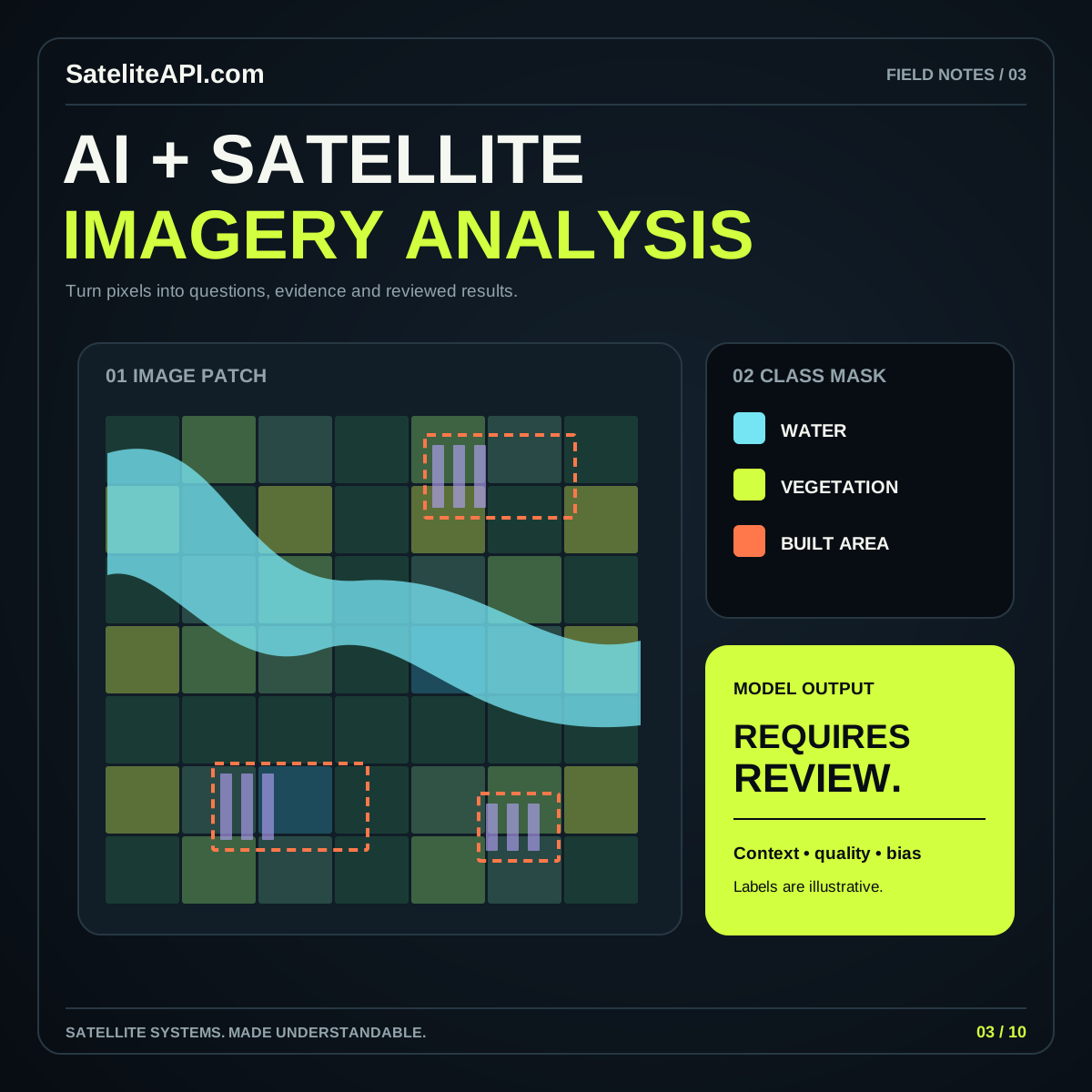
If AI becomes part of the workflow, carry the same discipline forward. The AI satellite imagery analysis guide explains task definitions, independent evaluation, and review interfaces. Model output should add an interpretable layer to the source evidence, with enough context for a person to examine an uncertain result.
Publish a map that can be traced back to its inputs
A useful map needs more than an attractive color palette. Include a meaningful legend, an observation date or interval, the layer’s unit, and a concise description of its source. Let readers distinguish unavailable values from valid low values. Choose labels that explain the actual content rather than suggesting unsupported precision.
For downloads, include source identifiers and processing notes in accompanying metadata. Use descriptive filenames that identify the subject and time range without promising more than the asset contains. If a file is derived, explain what operation produced it and where its inputs came from.
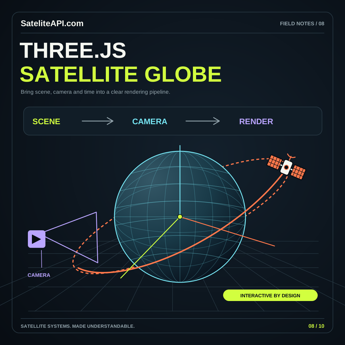
Offer an export that remains understandable outside your website. A reader may open it weeks later without the original page. Carrying context with the file is a practical investment in reuse, review, and collaboration. For richer displays, explore the Three.js satellite globe guide while retaining the same information in an accessible text view.
Questions for a dependable geospatial workflow
Does STAC make every dataset equivalent? A shared catalog structure makes descriptions easier to navigate. You still need to inspect each product’s content, quality, access conditions, and intended use.
Should every layer use the same projection? Define the reference system needed for each output, then transform inputs deliberately when the workflow requires it. Keep the original source information in the record.
What should a first project deliver? One clearly bounded study area, a repeatable selection process, inspected sample assets, and an export with useful metadata. Add new regions or data products after confirming that they fit the same assumptions. The strongest geospatial workflow is one that another person can follow from the question to the source records, through processing, and into the final map.
Sources and further reading
Sources were consulted for this general guide. Illustrations are explanatory; orbital and screen examples are not live telemetry.